Are you looking for a trekking experience like no other? One that takes you through rugged trails, over soaring high passes, and into some of the world's most isolated communities? The Mugu Dolpo Trek via Great Himalayan Trail (GHT) is a once-in-a-lifetime adventure into the heart of Nepal's remote northwest.
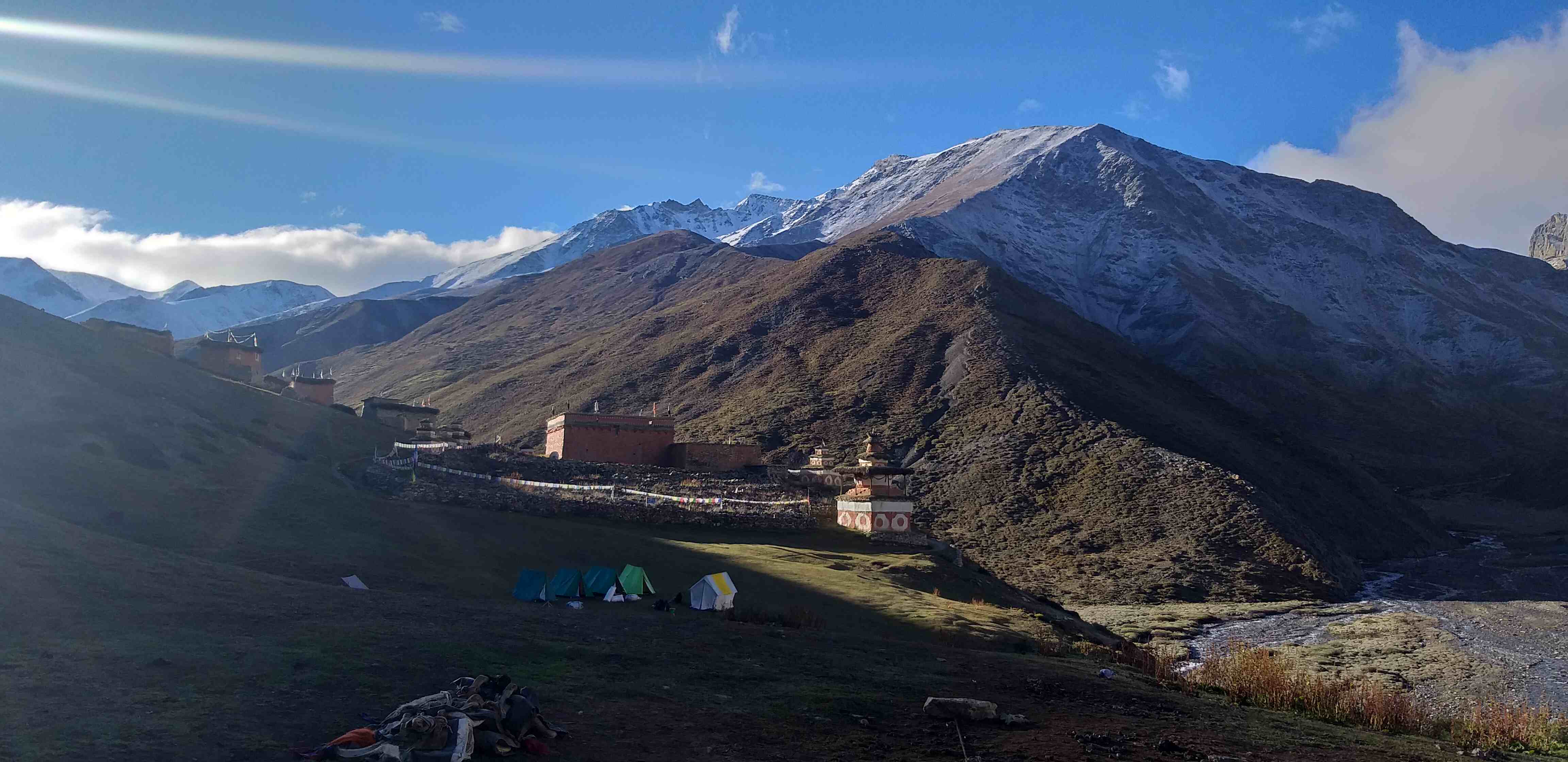
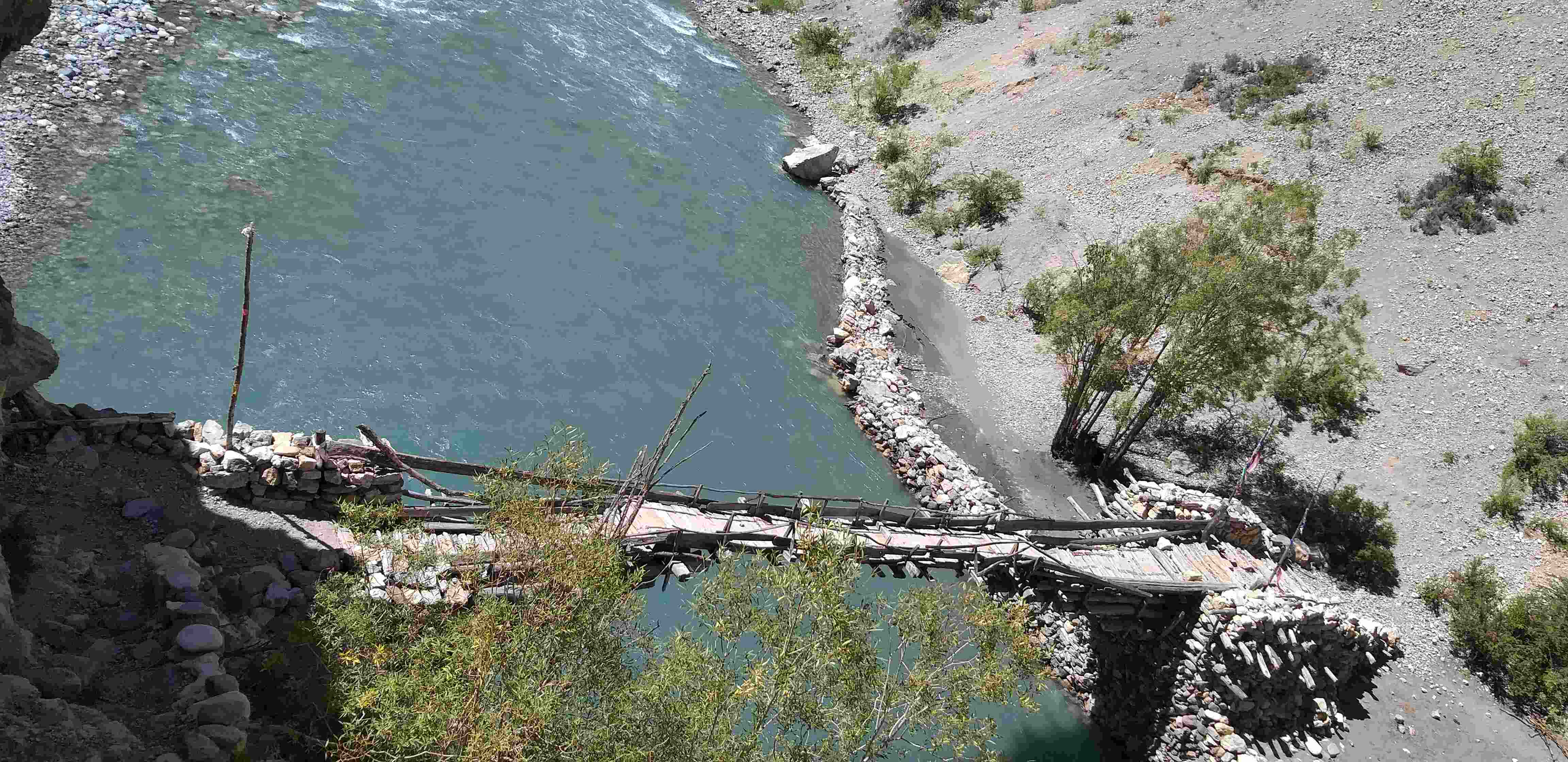
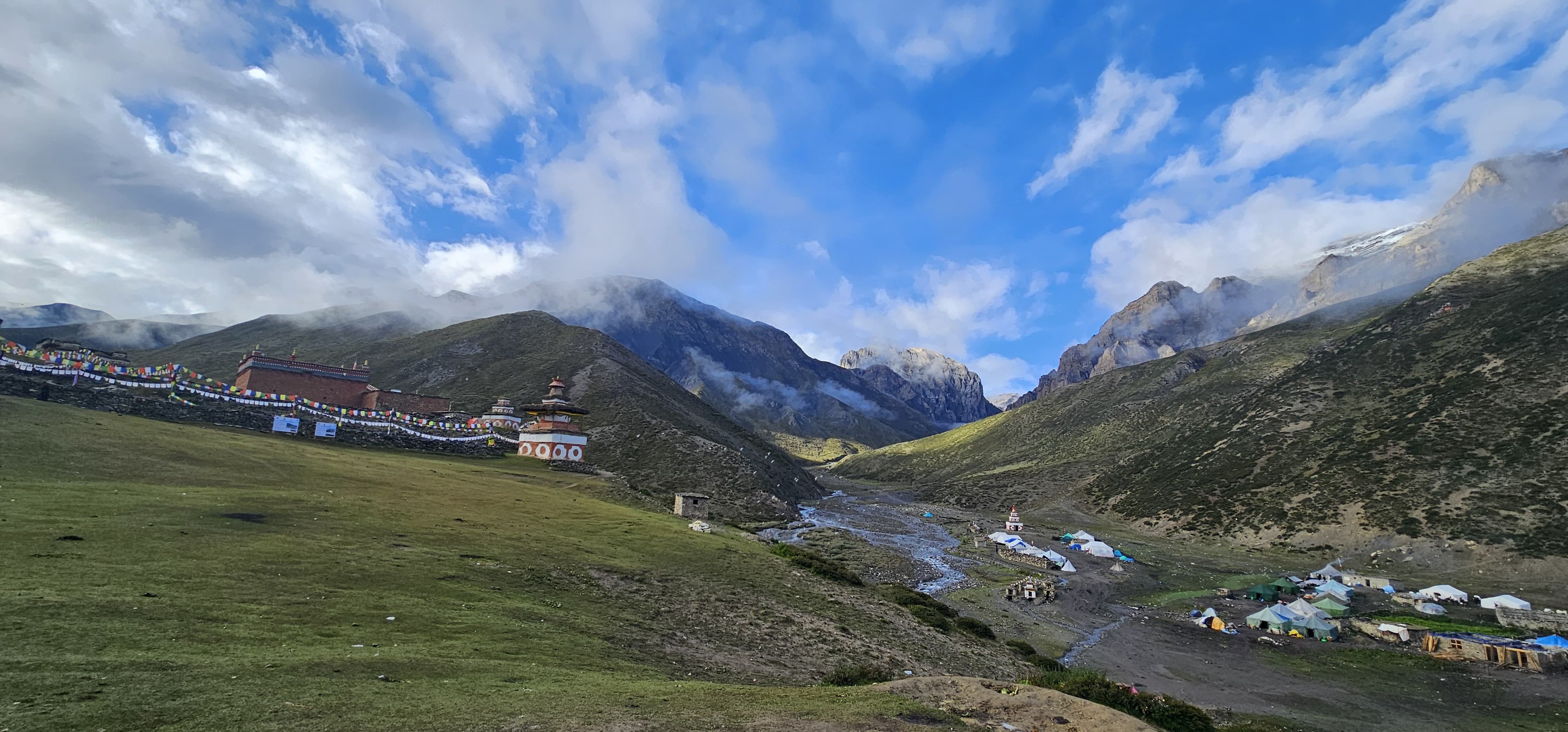
The Dolpo Mugu Trek, one of Nepal's hidden classic routes, begins at Juphal Airport in Dolpa District and concludes at Mugu's Talcha Airport. This epic journey along the Great Himalayan Trail (GHT) promises untamed wilderness and unparalleled beauty. The trek is completely wild camping, leading you through numerous high passes and offering an intimate encounter with Nepal's most pristine landscapes.
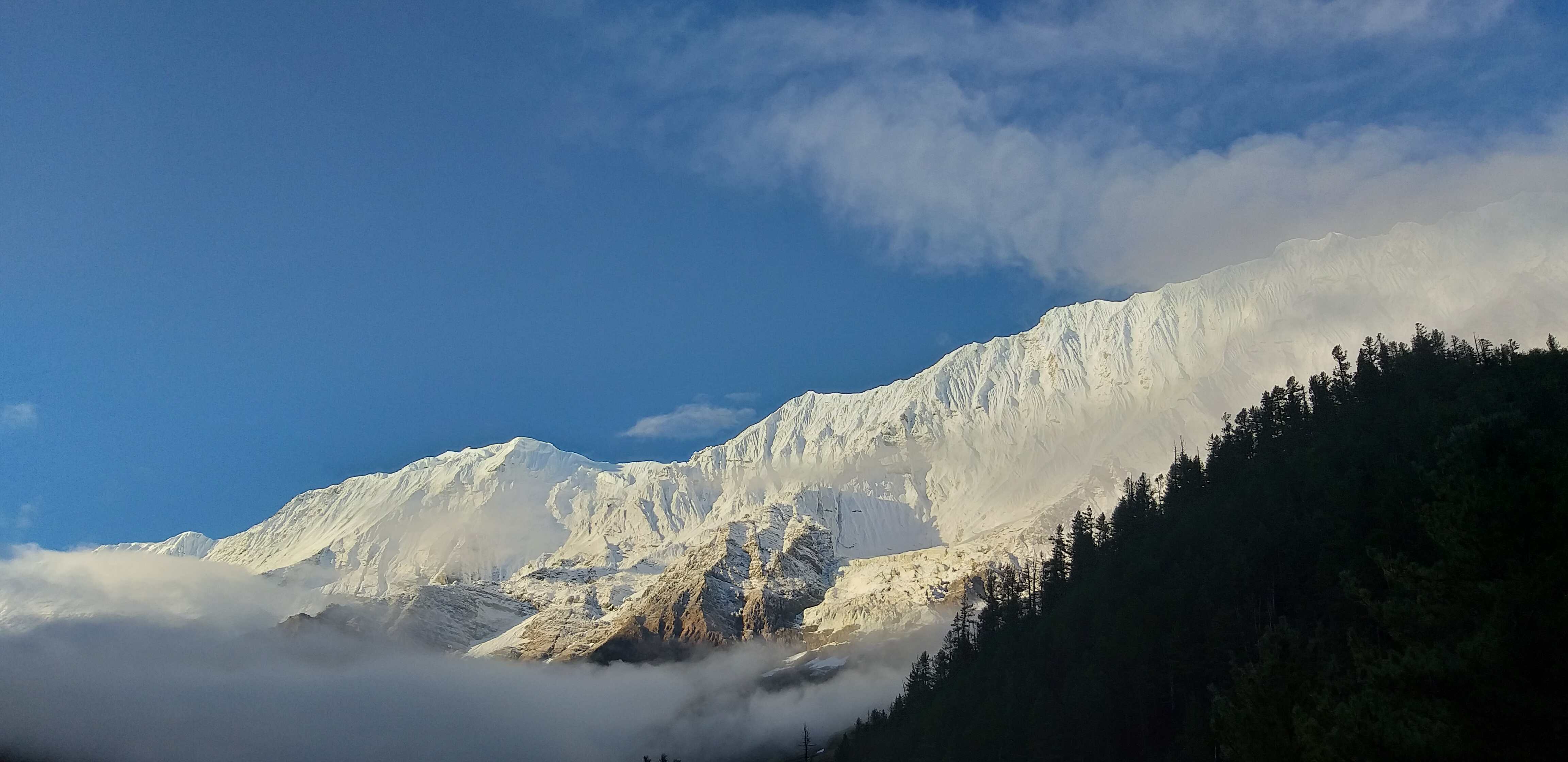
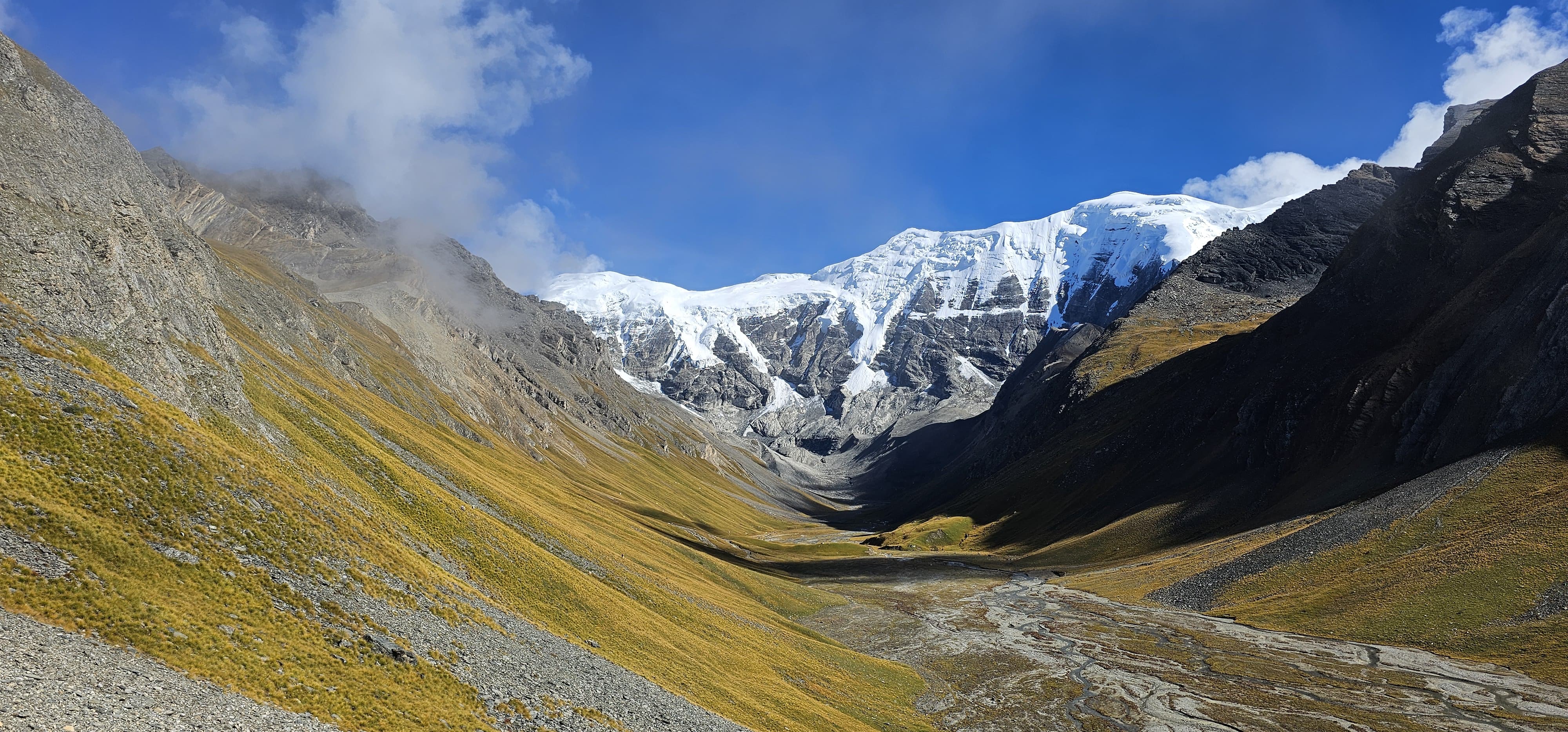
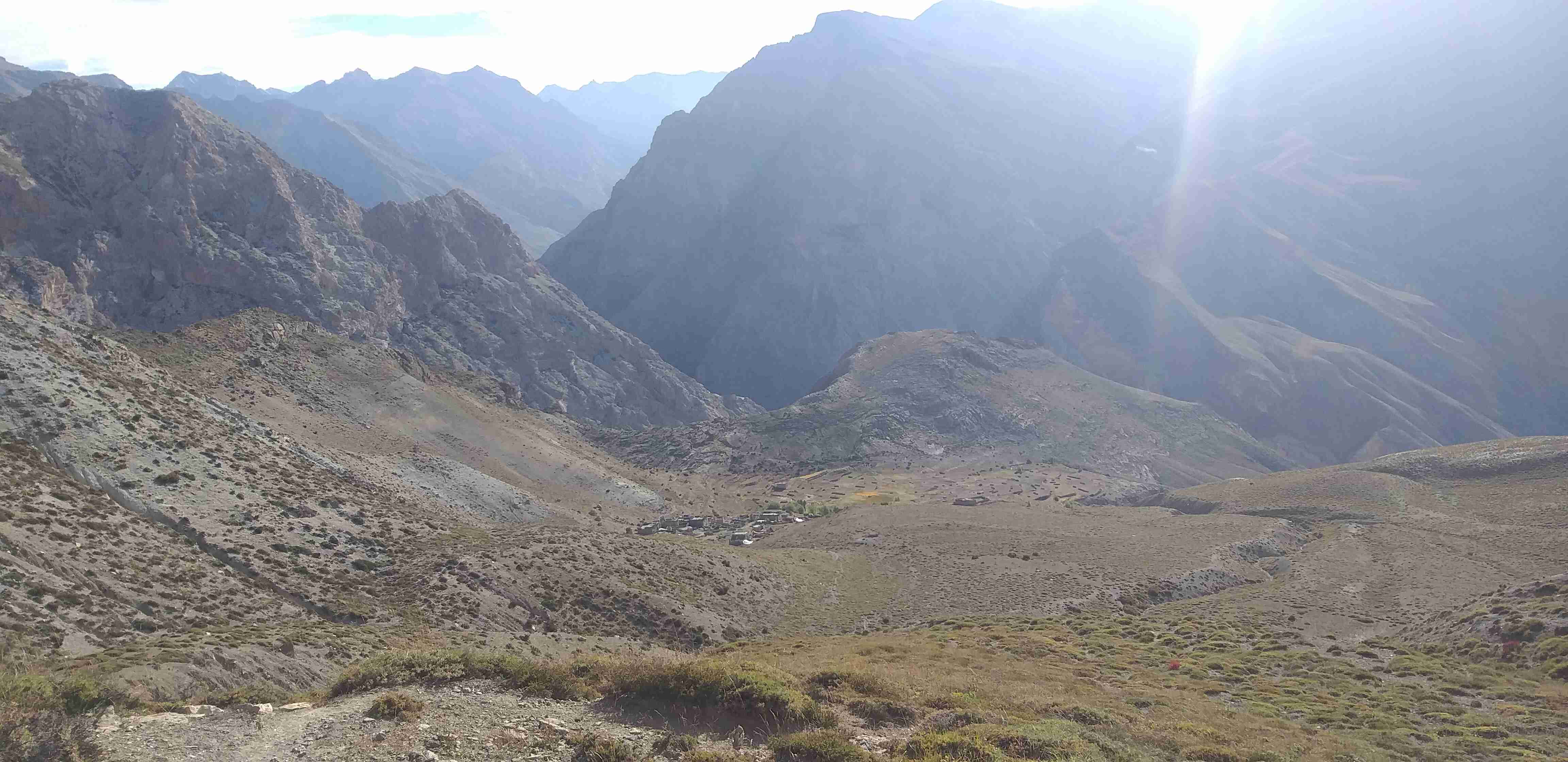
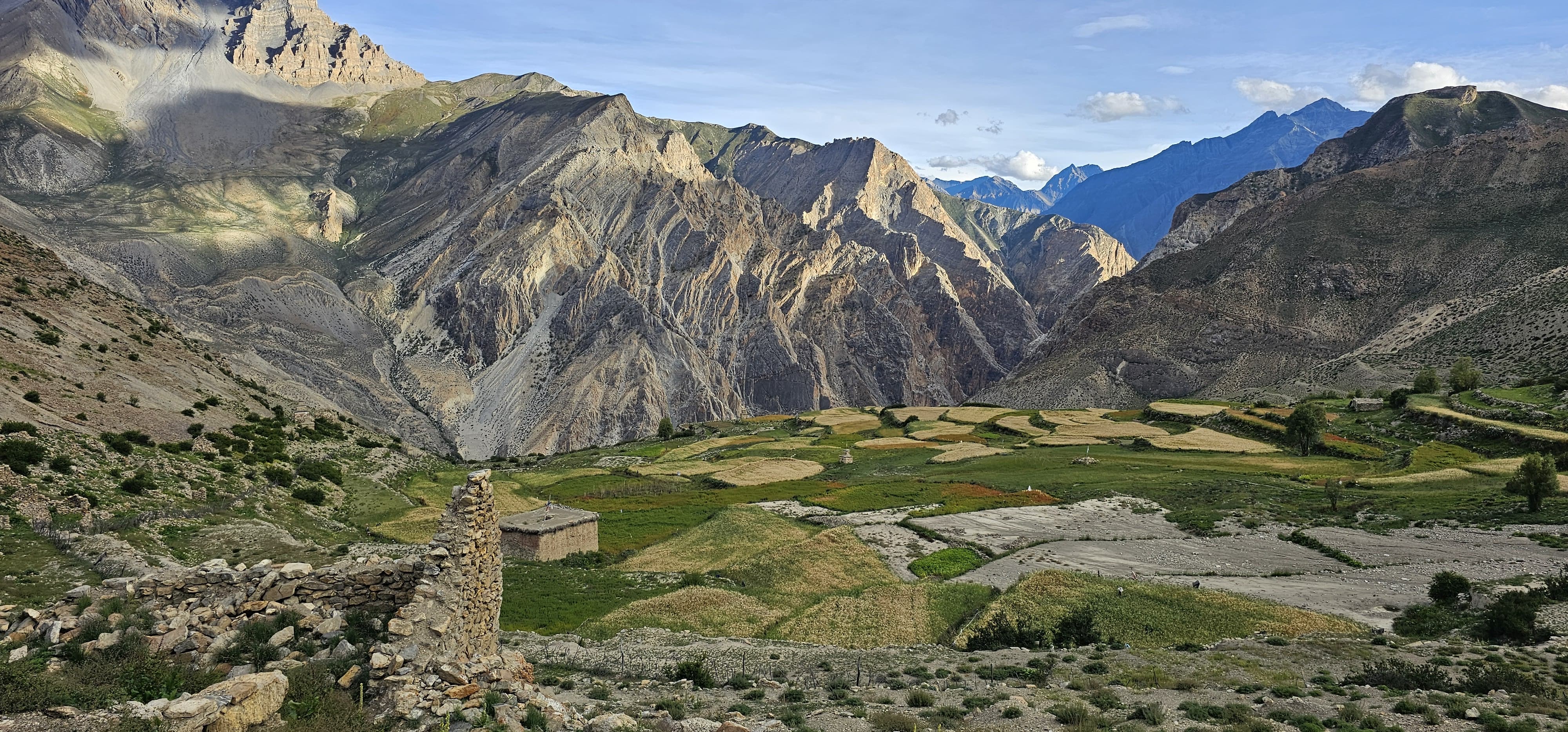
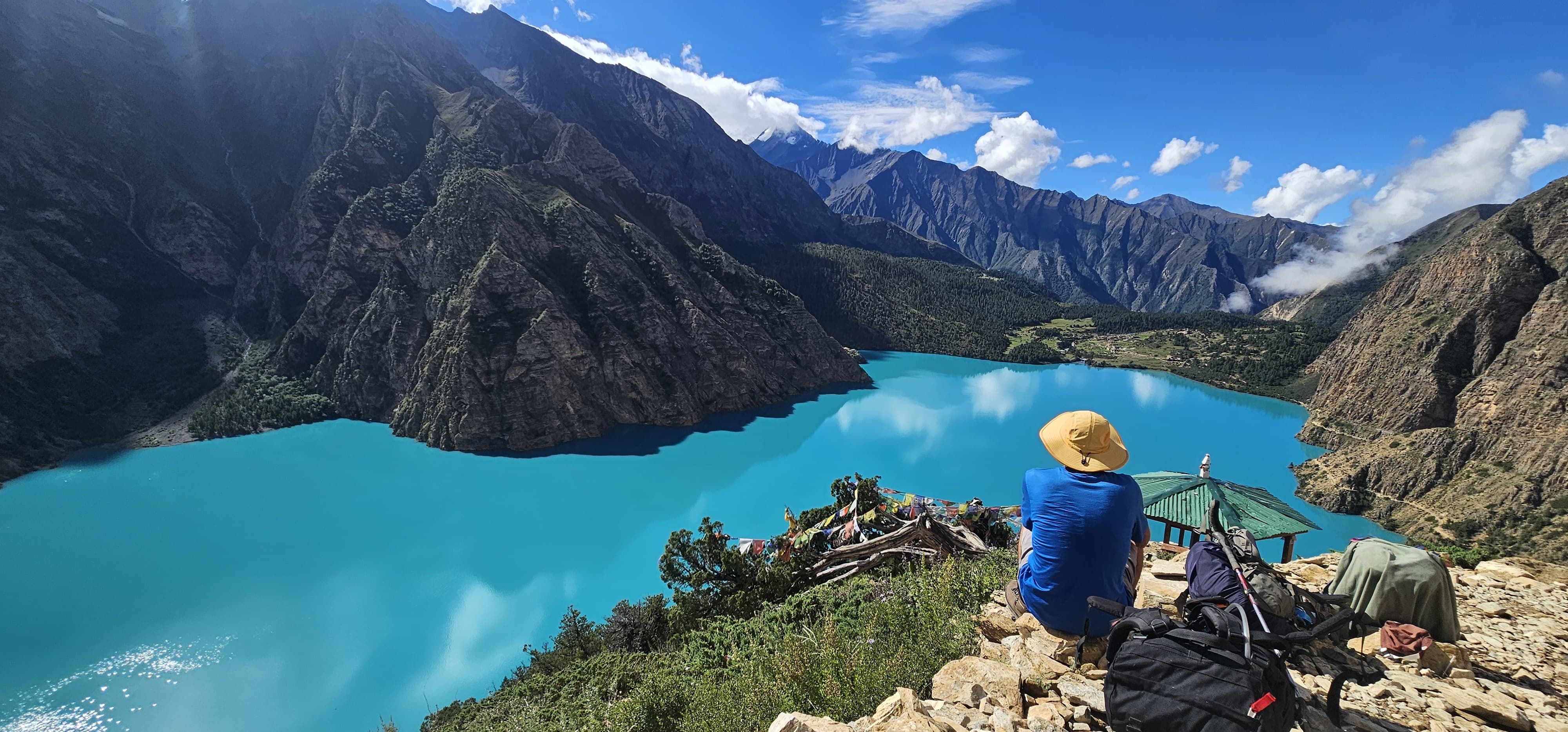
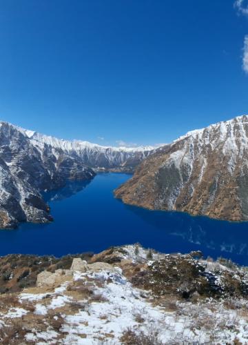
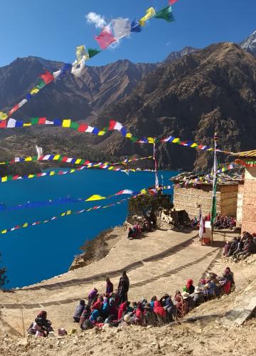
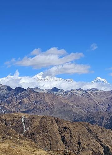
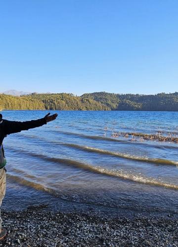
Along the way, you'll explore the stunning Shey Phoksundo National Park and Rara National Park, two jewels of Nepal's trans-Himalayan ecosystem. These include turquoise-colored water, the tranquil expanse of Rara Lake, and an almost endless number of breathtaking views that change with every turn of the trail.
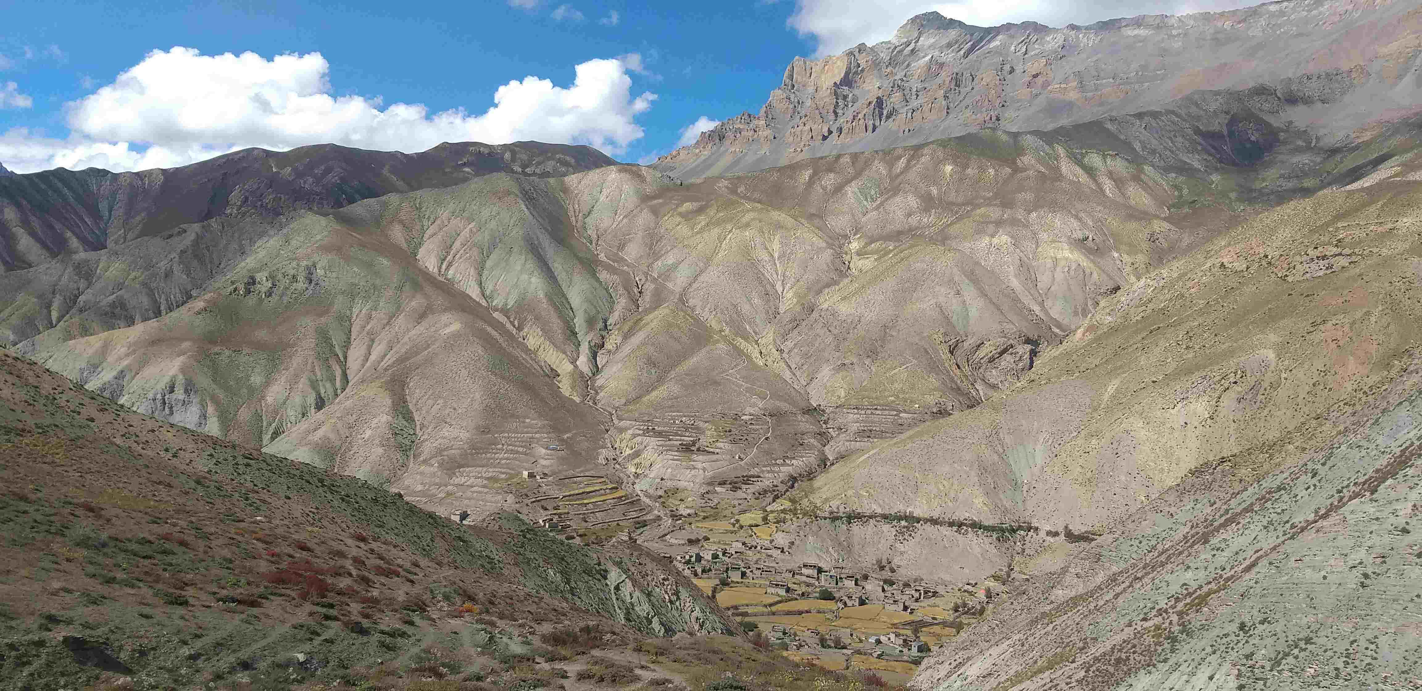
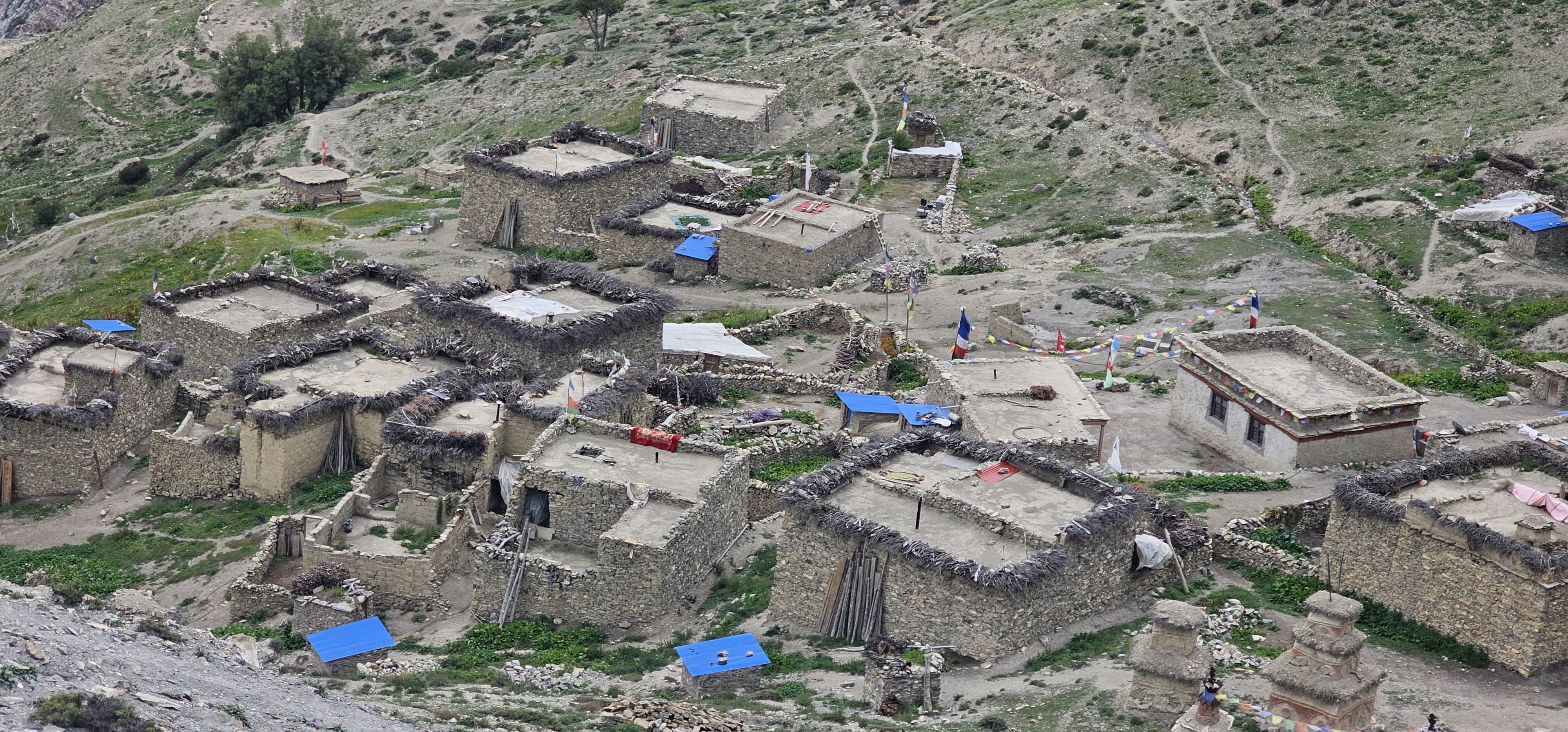
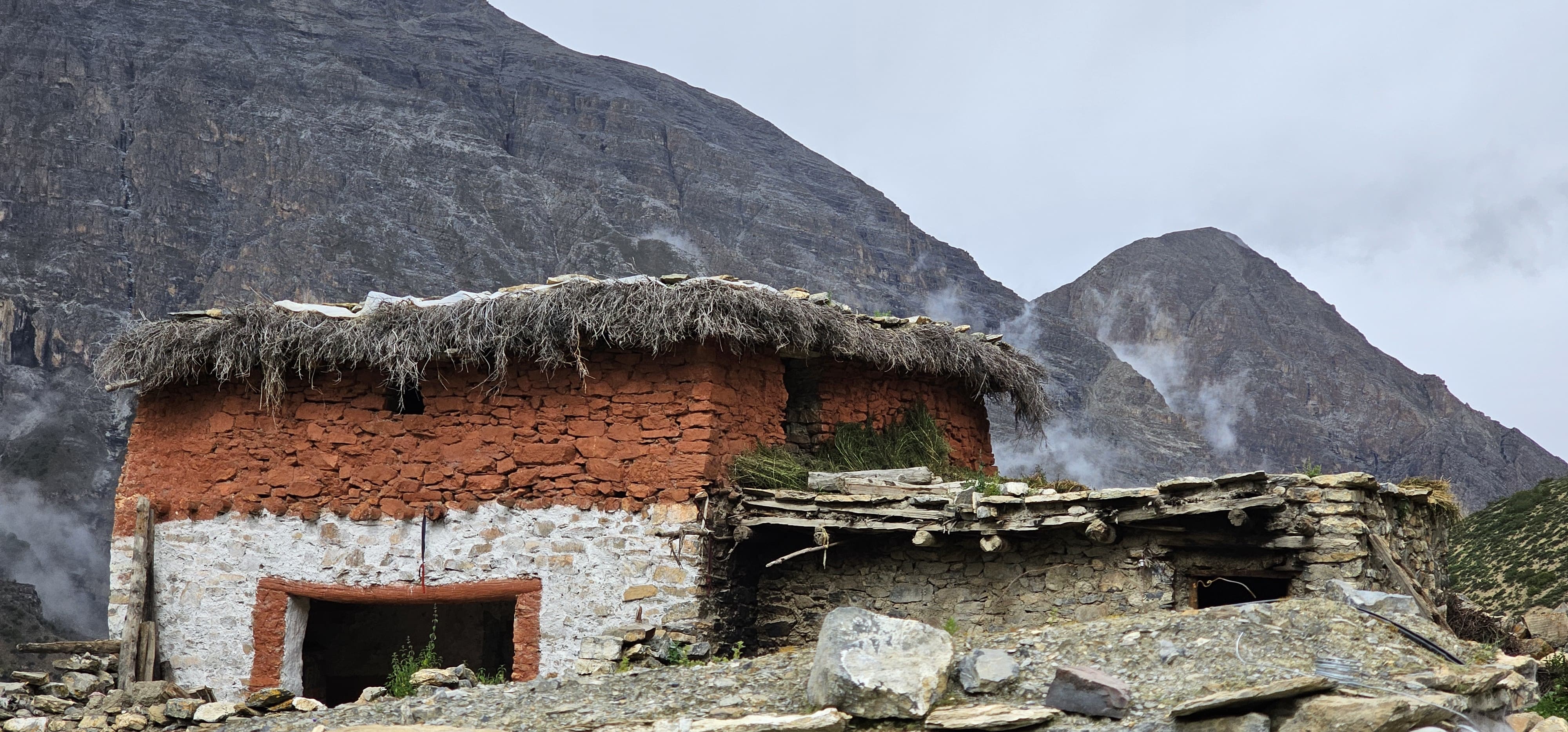
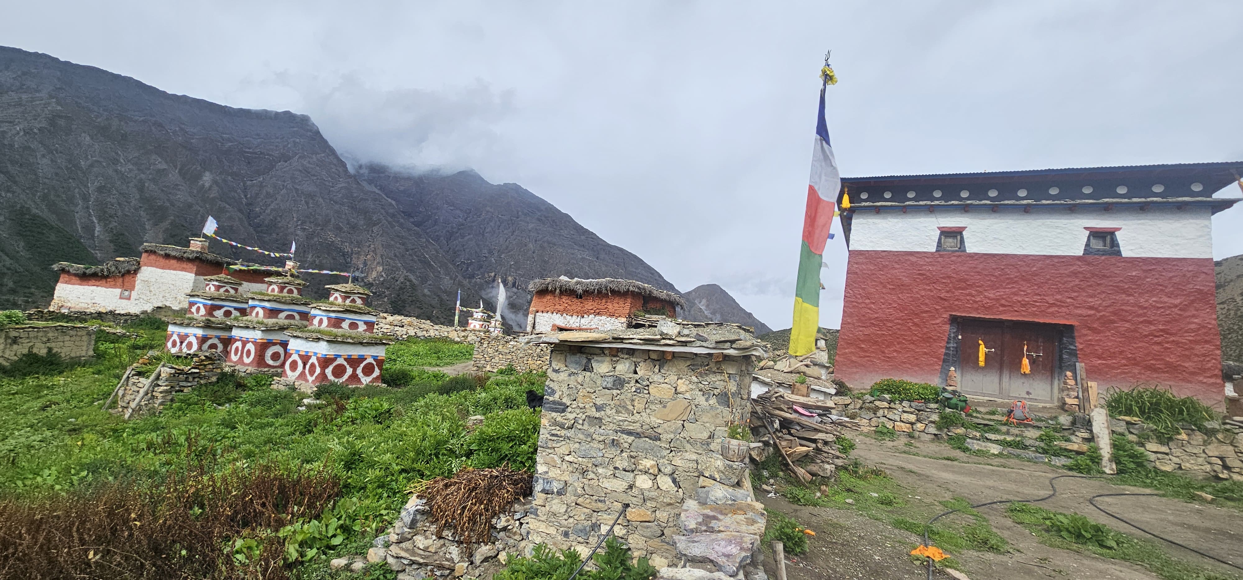
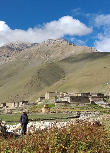
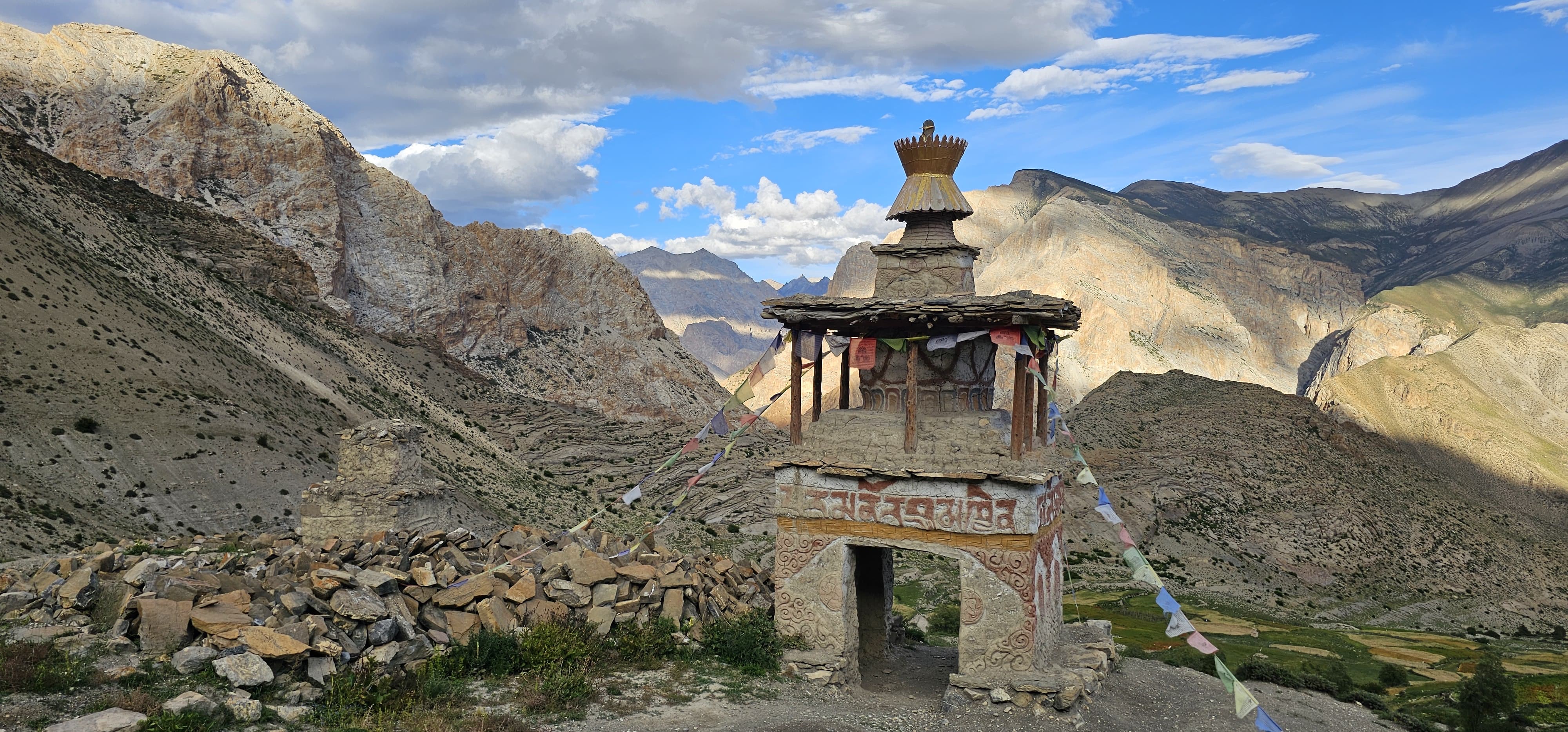
More than natural beauty, the trek brings you into immersion with the deep-rooted cultural heritage of the region, where ancient traditions flourish untouched by modernity. You will cross villages from another age, see everlasting customs, and experience an intact way of life-just like stepping back in time.
Wildlife lovers will be thrilled with the possibility of seeing the rare species: snow leopard, blue sheep, musk deer, pika, and marmot, as well as an array of Himalayan birds. The trek offers a front-row seat to Nepal's remarkable biodiversity, making it an unforgettable journey for adventurers and nature lovers alike.
The Mugu Dolpo Trek via GHT isn’t just a trek through the Himalayas—it’s an odyssey of discovery, a wild camping adventure, and an immersion into an untouched world of breathtaking beauty and cultural richness. Prepare to be amazed at every step as you embark on this untamed journey into Nepal's wild west.
Why Choose Mugu Dolpo Trek?
The Mugu Dolpo Trek via GHT is not just a trek — it's a journey through one of the most secluded parts of Nepal. Here's why it stands out:
Off-the-Beaten-Path Experience: But Mugu Dolpo is different; it is not much travelled like the Everest or Annapurna trail routes.
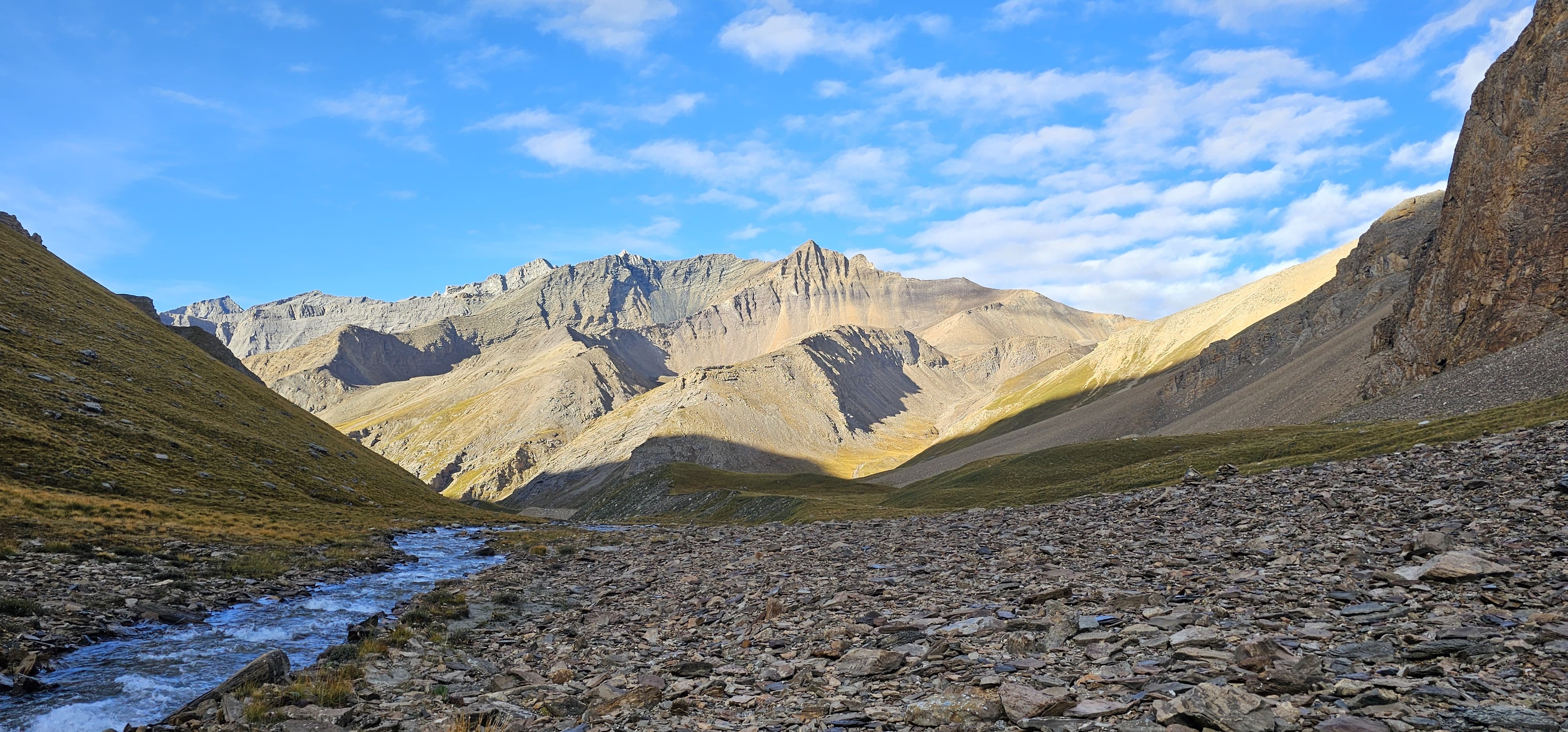
Scenic Grandeur: Walk through surreal landscapes that shift from barren deserts to lush green meadows and crystalline lakes.
Cultural Richness: Meet local communities like the Thakuris and Tibetan-influenced Dolpo-pa people, known for their warm hospitality.
Adventure Challenge: Test your endurance as you navigate challenging trails, high passes, and rugged terrain.
Iconic Route via GHT: The Great Himalayan Trail (GHT) is the ultimate dream for trekkers, and Mugu Dolpo is one of its most iconic segments.
Be it an accomplished trekker or just an adventure-loving soul wanting raw and wild experiences, Mugu Dolpo provides just the right mix of adventure, beauty, and isolation.
What Makes This Trek Unique?
- Part of the Great Himalayan Trail (GHT): This isn't just any trek—it's a slice of the legendary GHT, a cross-Nepal route that tests the grit of even the most experienced trekkers.
- Jaw-Dropping Scenery: From the turquoise waters of Shey Phoksundo to the panoramic vistas from Nagcha La Pass, the variety of landscapes is staggering.
- Rare Wildlife Spotting: Shey Phoksundo National Park is a habitat for snow leopards, blue sheep, musk deer, and Himalayan griffons. You might spot one if you're lucky!
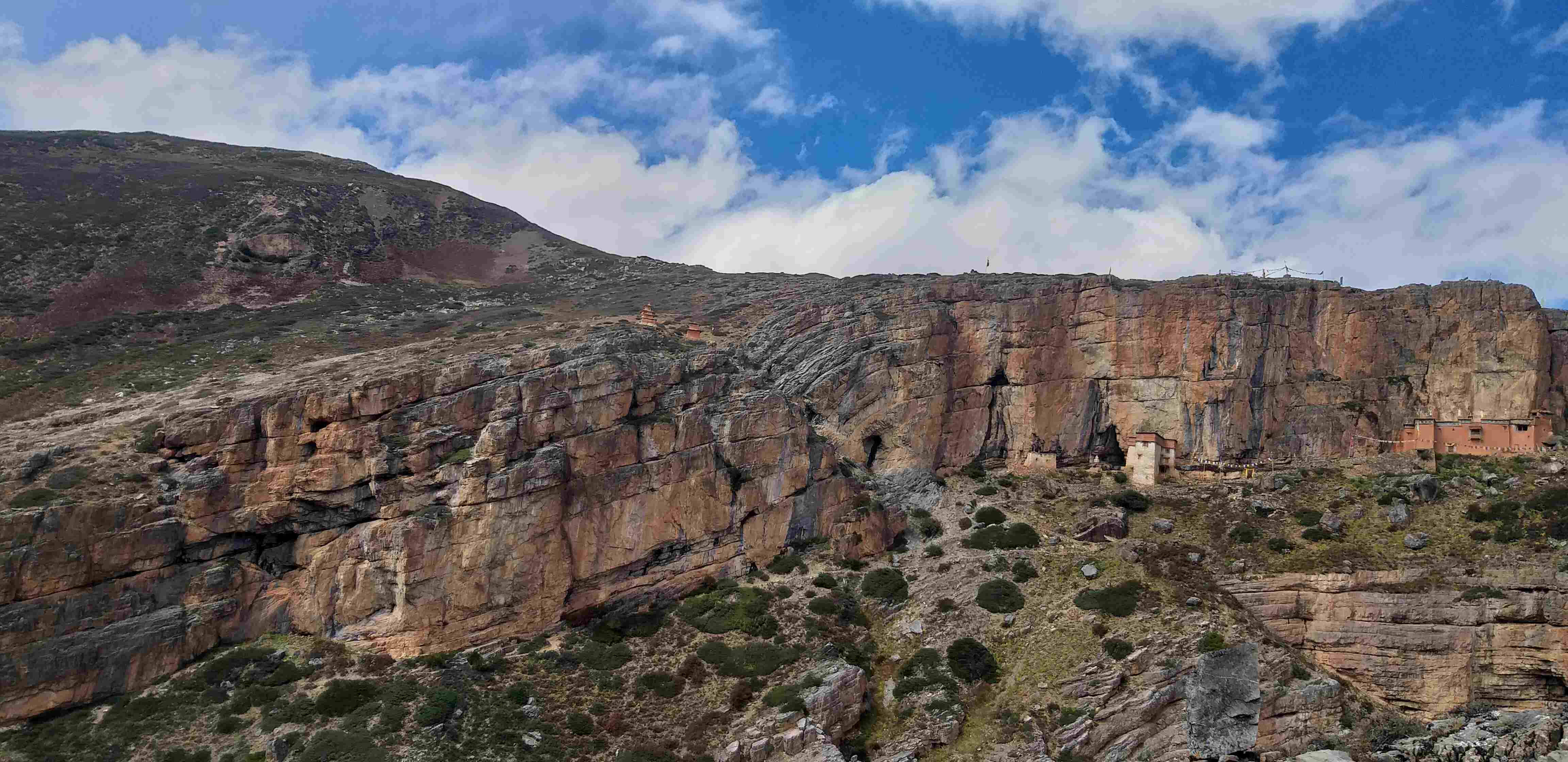
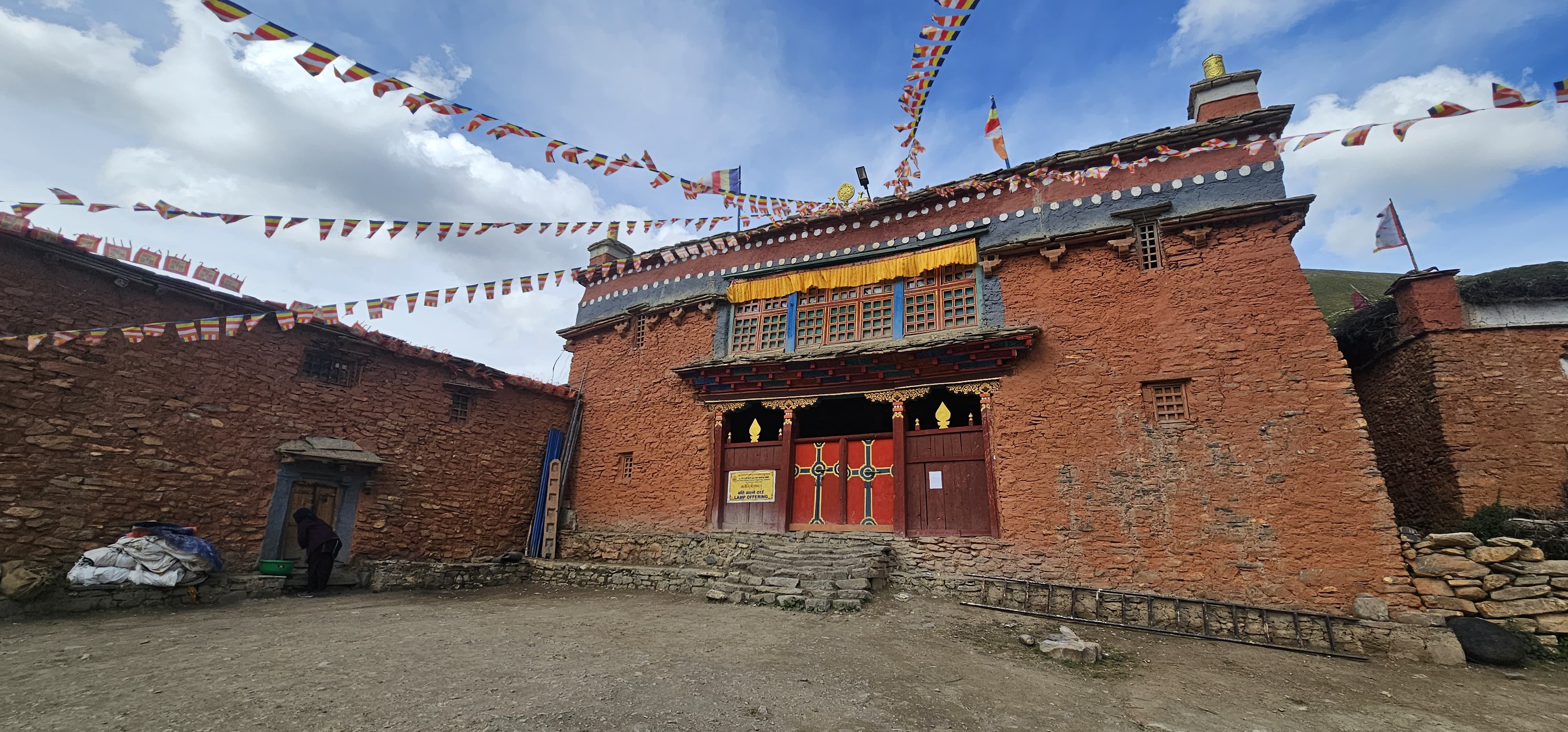
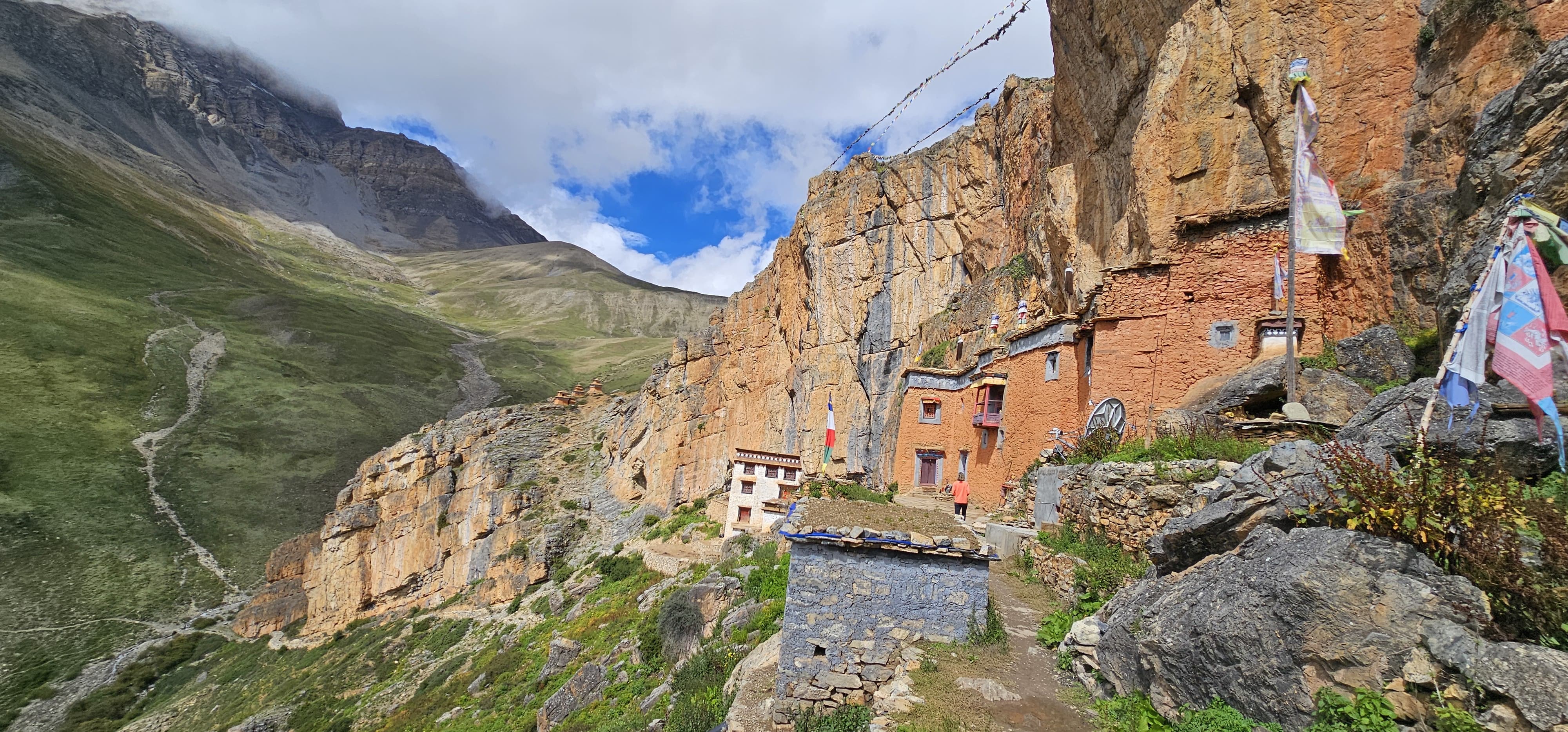
- Sacred Monasteries: The iconic Shey Gompa Monastery in Upper Dolpo is a major pilgrimage site. Walking here feels like stepping into a spiritual realm.
When to Trek in Mugu Dolpo
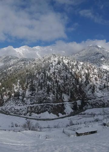
The best seasons for trekking in Mugu Dolpo are Spring (March to May) and Autumn (September to November). During these times, the weather is stable, the skies are clear, and the temperature is ideal for high-altitude trekking. The winter months bring heavy snowfall, while the summer monsoon makes the trail slippery and challenging.
Those who plan to trek during the summer period (June, July and August) should be prepared for rain, especially in the lower altitudes; however, the Mugu Dolpo area is in a rainy area because mizong during the rainy season the regions may receive little quantity of rain than the rest of Nepal. Some of the trails may become slightly muddy and get a little challenging, but the entire scenery is exceptionally colourful with the view of the green vegetation. It is also possible to define winter perspective, which includes December and February when there is snow and extreme cold. Still, there is no vegetation, and treks are blocked by snow and frosts, which makes winter treks suitable only for experienced travellers.
A Personalized Experience
The Mugu Dolpo Trek is an opportunity to go out of the standard and ordinary and have an out-of-the-world experience. But at the same time, the results are priceless.” One feels pretty serene when passing through such a calm and least exploited environment. Some days, you wake up in the morning, and all you hear is the wind blowing or the sound of a stream. There, you will find yourself across the entire country, travelling through many remote villages you would think to belong to a different era, people who have little to do with modern civilization, and various terrains you would classify as alien. This trek is not an end to a means but a means in itself; there is no goal to achieve. It is all about stripping down one’s life for a short period of time and stepping back from the daily rat racing. So, an in-depth trek that may call for a test of your stamina along with the spiritual benefits and successful blending of culture, the Mugu Dolpo Trek is welcome for you.
The Mugu Dolpo Trek is not just a walk – this is the wilderness expedition into one of the most spectacular and isolated areas of Nepal. Some may be interested in the stunning and pristine terrains which are untouched, others may be interested in the culture influenced by the Tibetans and or perhaps one might just need a Good Trek away from home and this trek provides just that and much much more.
So, are you ready to step off the beaten path and experience Nepal in its raw, unfiltered beauty? Let us help you plan your perfect adventure! Contact us today to learn more about the Mugu Dolpo Trek or to customize your itinerary.