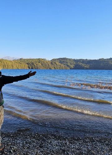
The Beni Dolpo Trek via Dhorpatan is an exciting journey into some of the most isolated and unspoiled areas of Nepal. Starting from the busy town of Beni, the trek crosses a number of different landscapes-from lush greenery in Dhorpatan Hunting Reserve to the barren, mystical beauty of the Dolpo region.
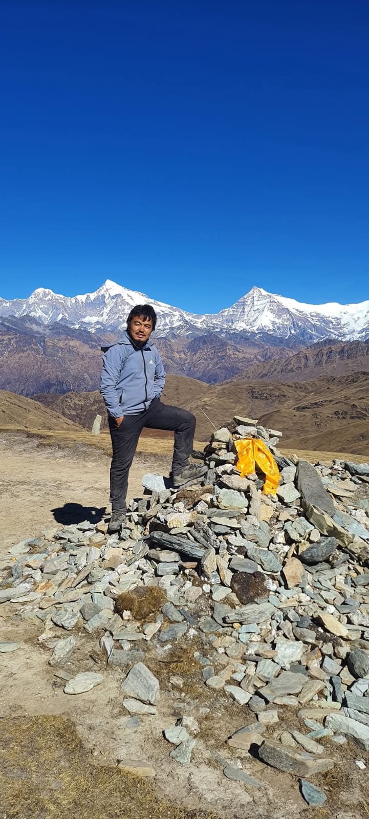
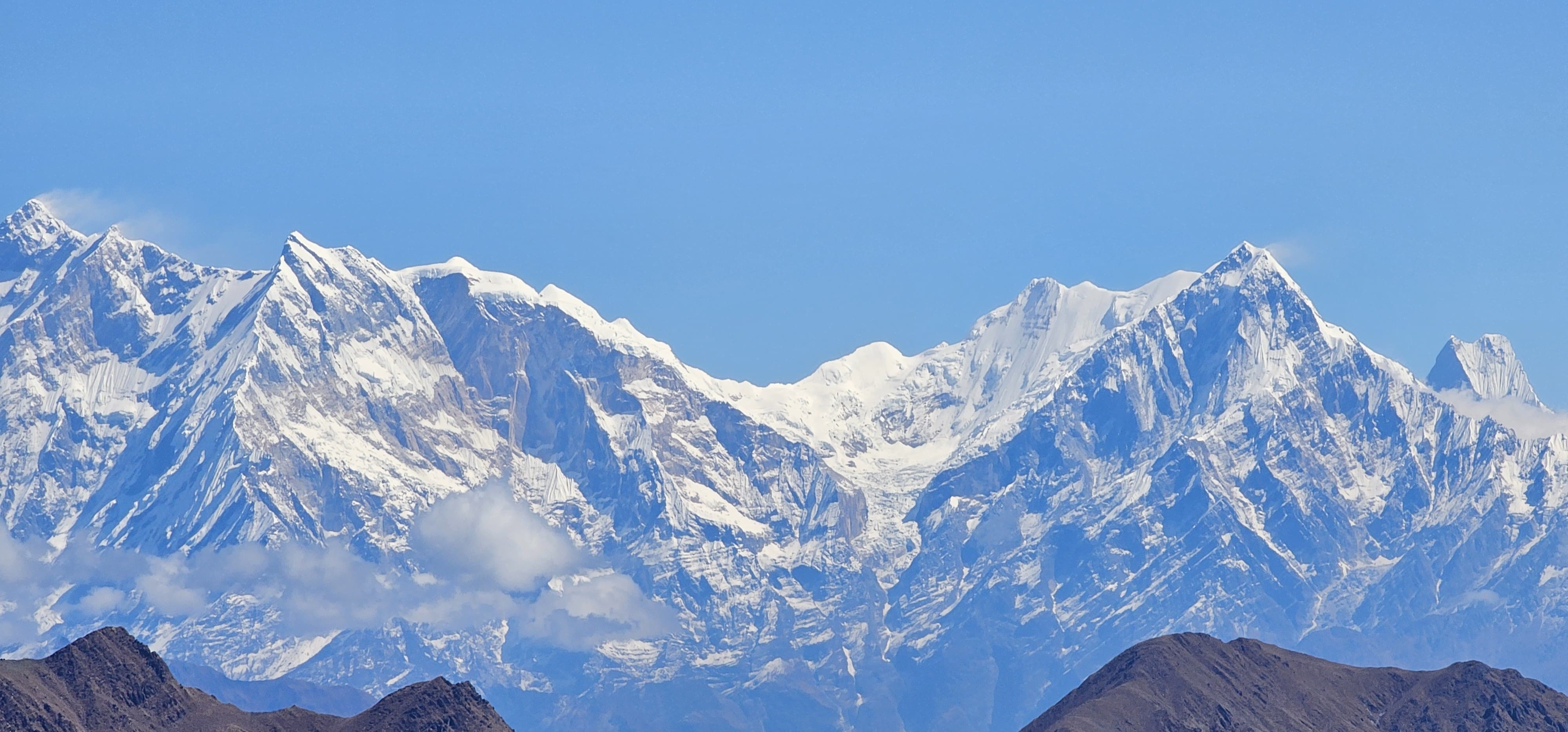
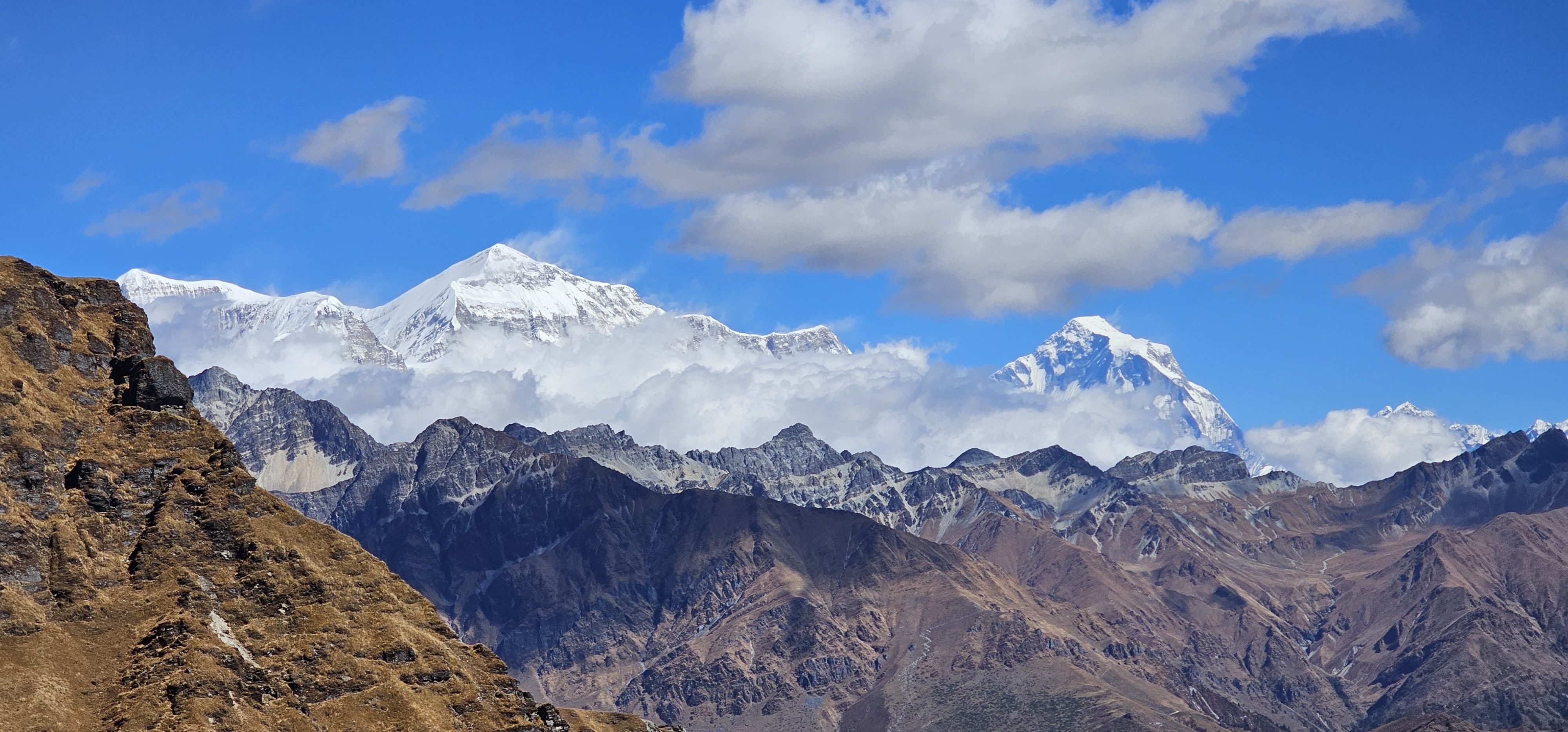
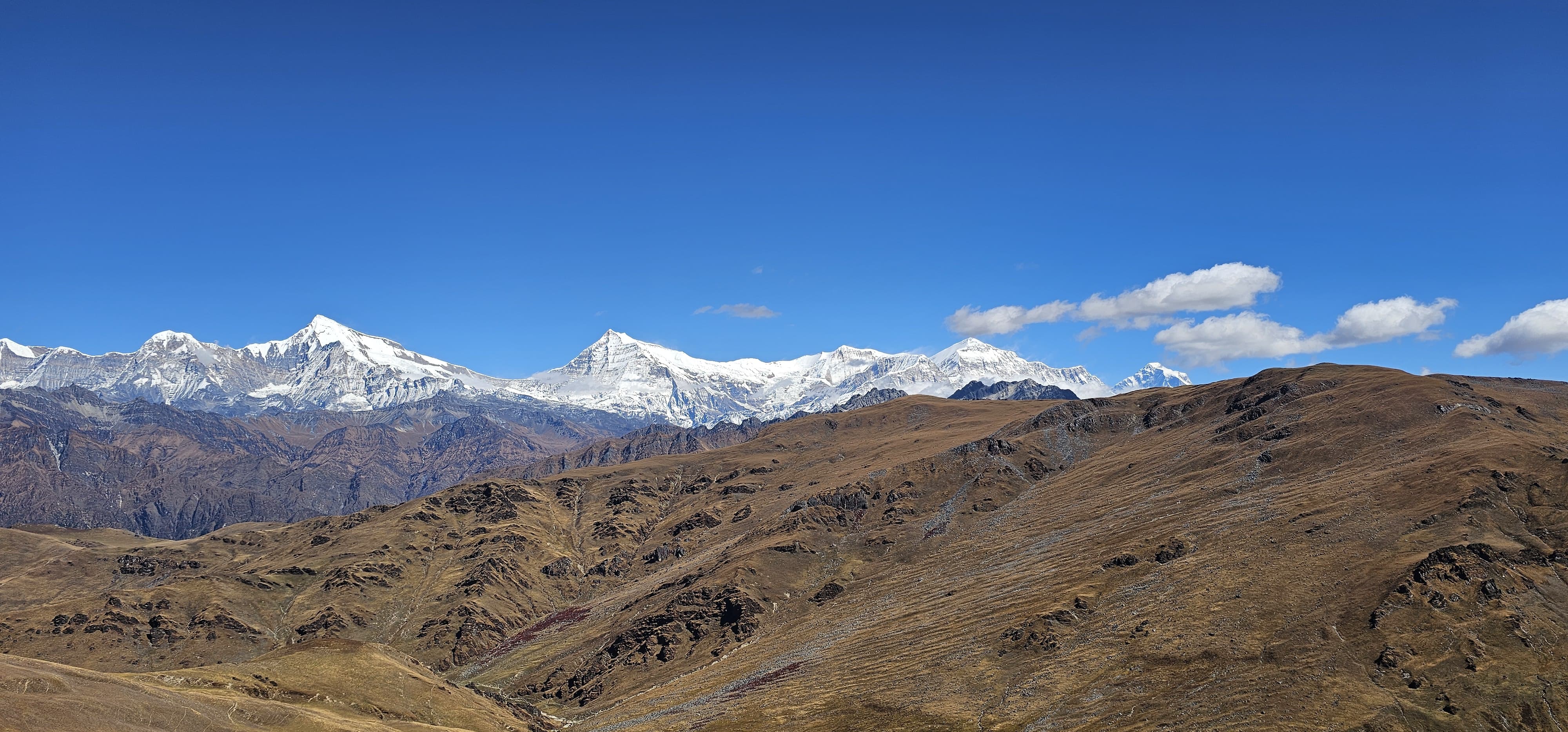
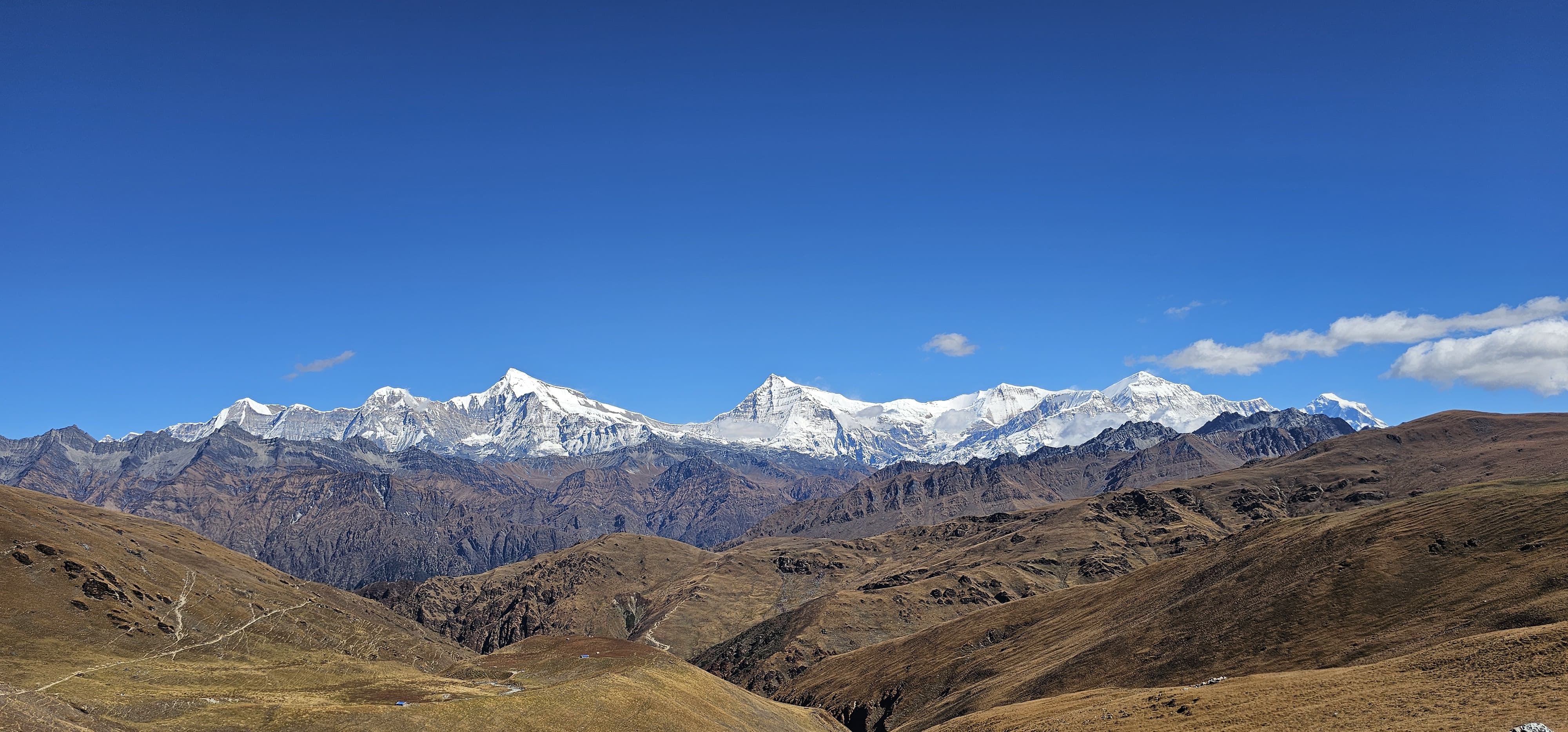
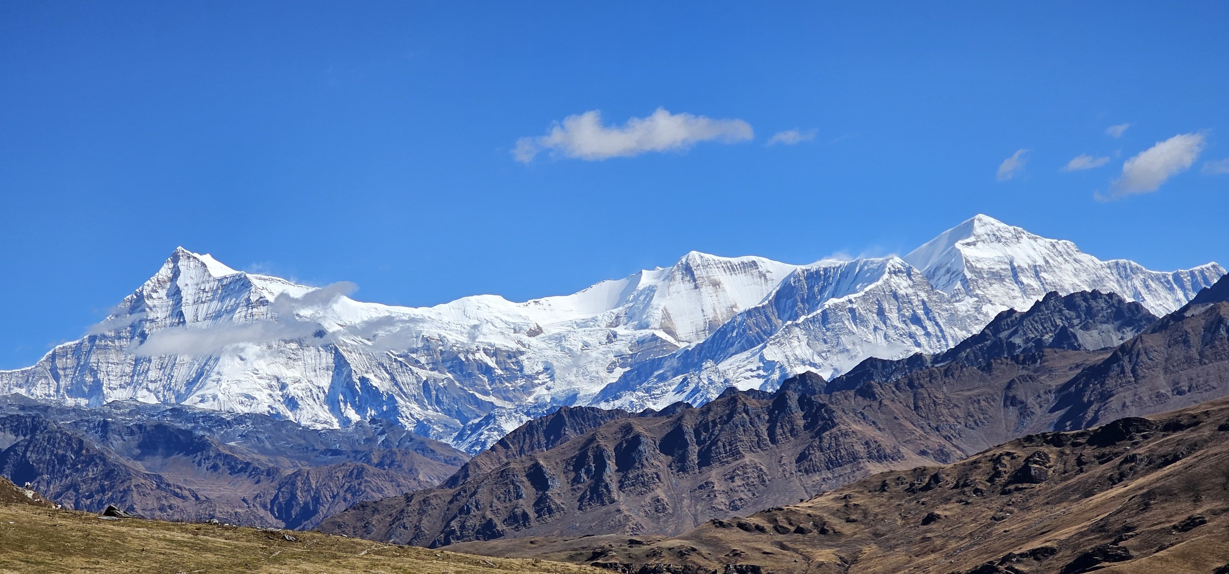
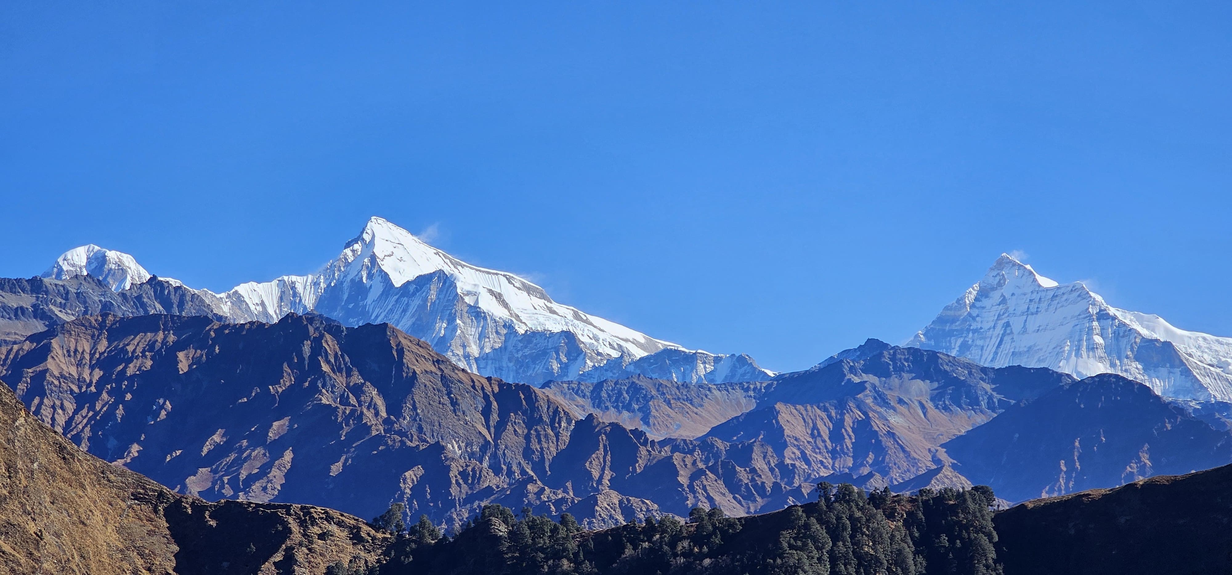
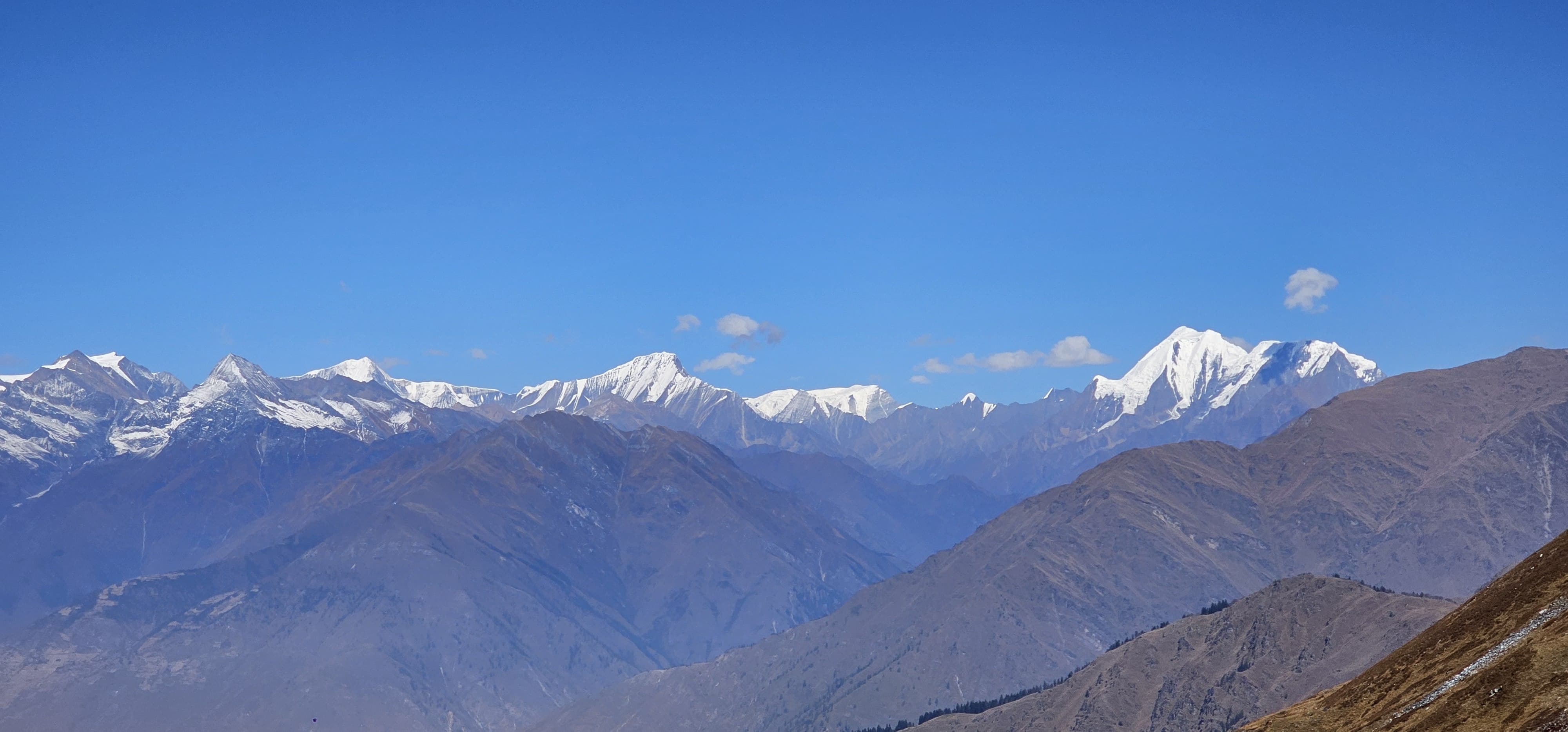
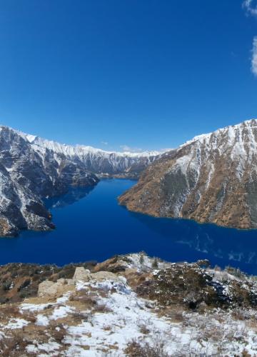
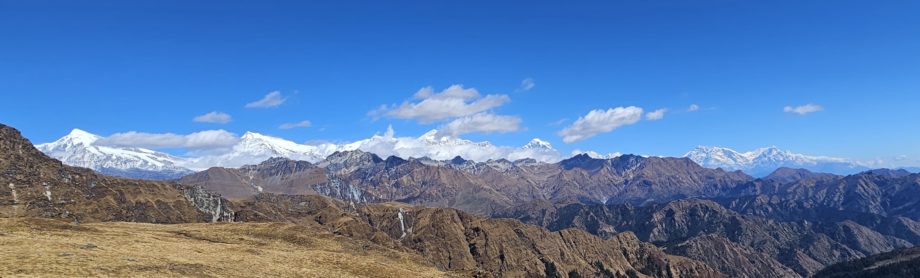
The trekking starts from Beni which is a starting point of Annapurna and Dhaulagiri Himal range. The route takes them to Jaljala Pass where they can get bird’s eye view of Dhaulagiri and Annapurna ranges. You’ll then enter Dhorpatan Hunting Reserve, where you'll see expansive plateaus, alpine meadows, and the Tibetan refugee settlements. The journey continues toward Dolpo, where you'll encounter awe-inspiring landscapes and mystical lakes like Phoksundo Lake.
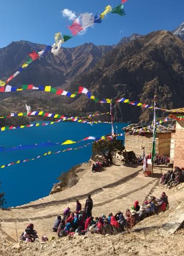
From the moment you enter Beni, the trek becomes a lifetime experience as it unfolds with breathtaking views of the Himalayas, enchanting forests, and varied cultures.You’ll cross high-altitude passes like Jaljala Pass and navigate the famous , Nepal's only hunting reserve. The trek culminates at Phoksundo Lake, an ethereal turquoise gem, and ends at Juphal Airport, where you fly back to Kathmandu.
Whether you’re drawn by the allure of the Himalayas or the chance to explore Nepal’s lesser-known trails, this trek promises an unforgettable journey into the heart of the wild.
Why Choose the Beni Dolpo Trek via Dhorpatan?
The Beni Dolpo Trek via Dhorpatan is not merely another trail in Nepal –it is the opportunity to see some of Nepal’s most inaccessible and enchanting land. Unlike Everest or Annapurna, there is a great opportunity to experience wild and unspoiled countryside and to be alone with nature.
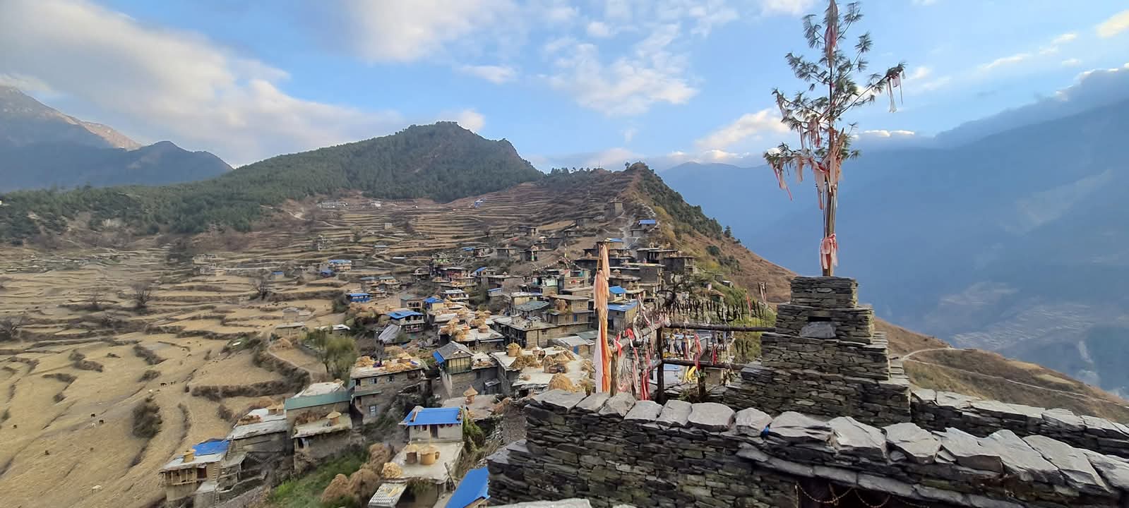
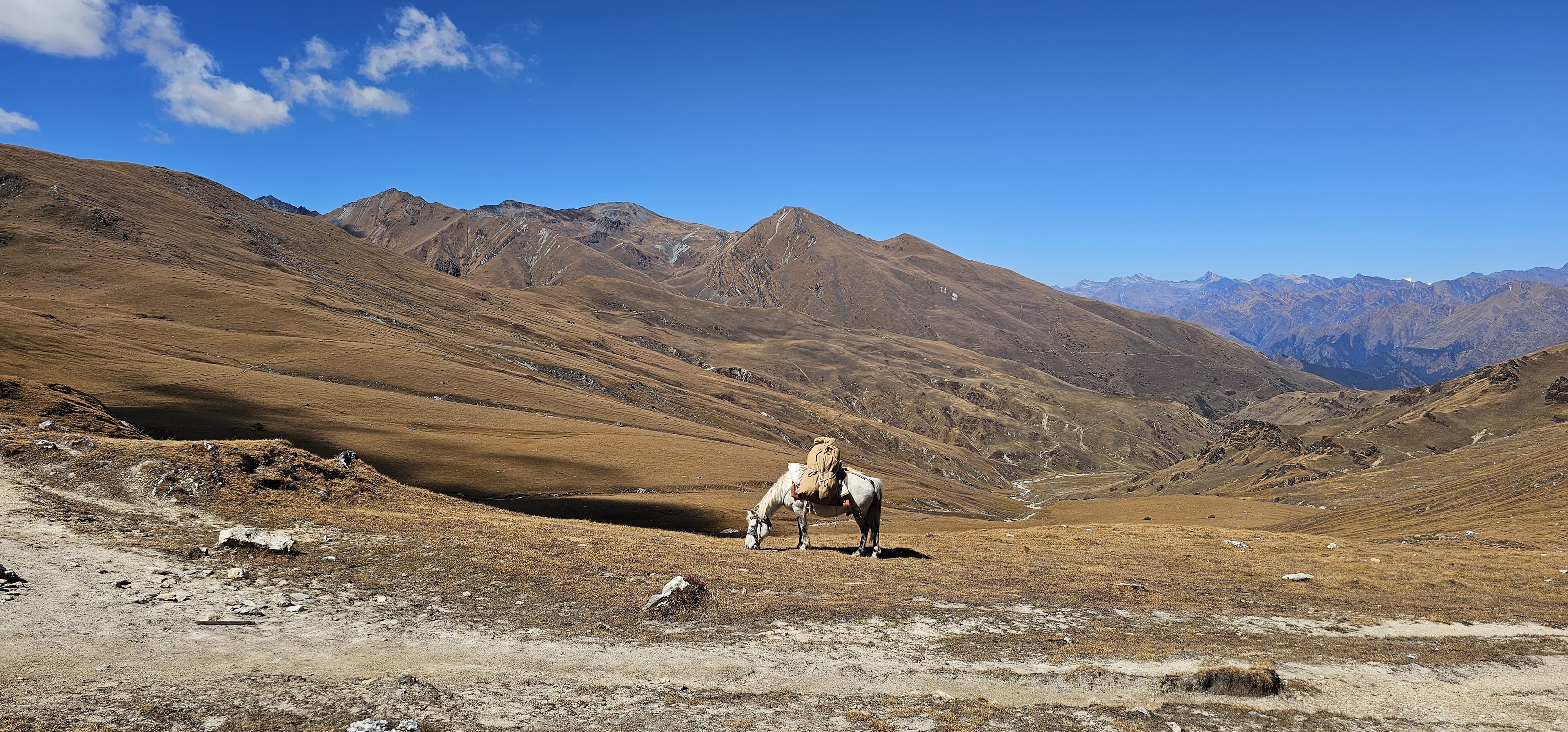
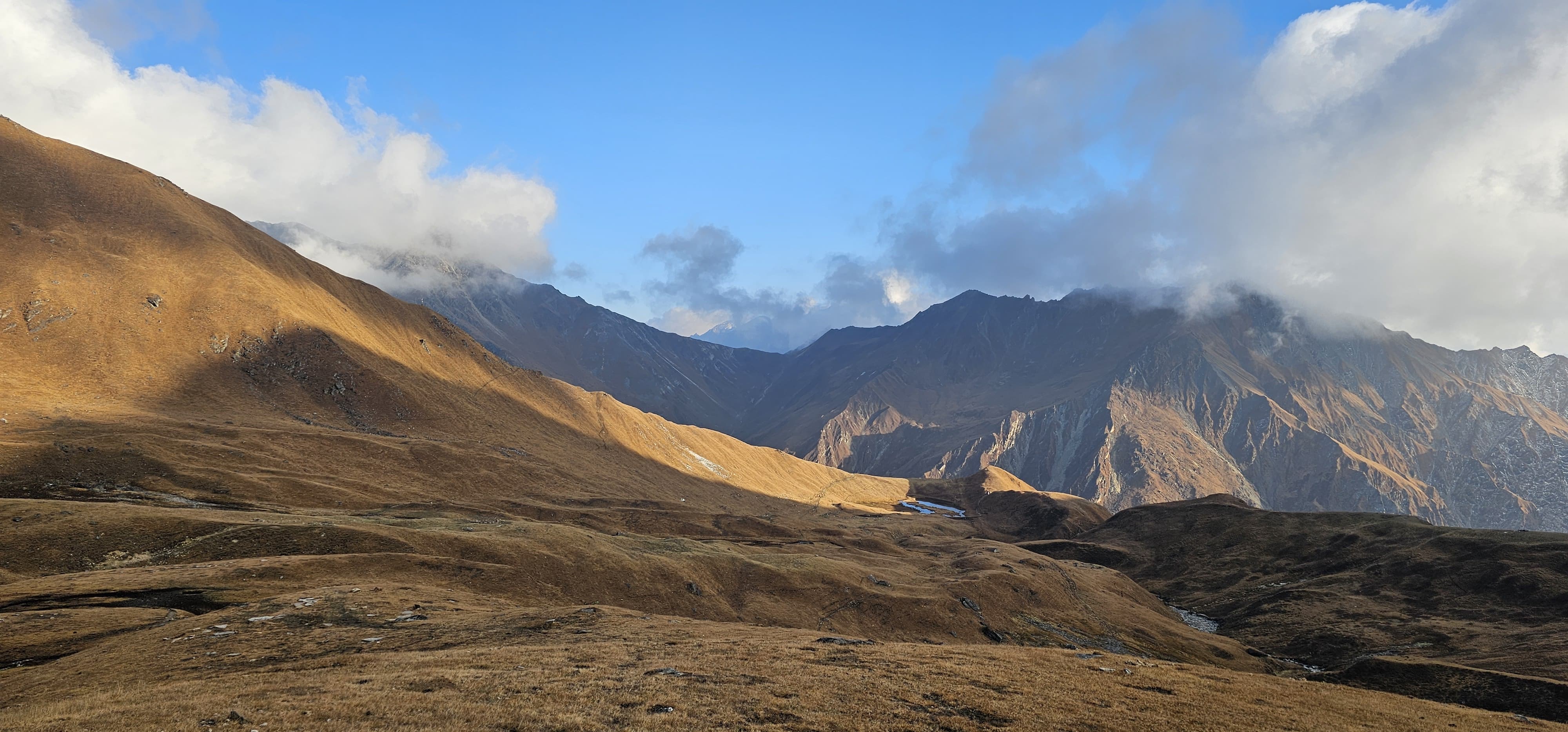
The following stunning route will provide an elaborate match between the natural beauty of the regions as well as cultural attractions. Following those from Beni, the journey goes up valley, through forests and rolling hills to the Dhorpatan Hunting Reserve, the only hunting reserve in Nepal and home to a wealth of wildlife.
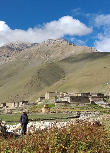
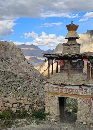
Gradually, the landscapes change from the fascinating and picturesque high hills of western Nepal to the barren, mythical, sacred land of Dolpa. Here, the topographic sizes cause admiration with peaks, monasteries, and the blue hue of Phoksundo lake. Dolpo’s exotic Tibetan Buddhist flavor enriches the experience, and if trekkers want to meet a civilization still preserved from the twenty-first century, they have a unique opportunity.
Whether you’re an avid trekker or a cultural enthusiast, the Beni Dolpo Trek via Dhorpatan Nepal promises an unforgettable blend of natural splendor and profound cultural encounters.
How Long is the Beni Dolpo Trek via Dhorpatan?
The trek takes 18 to 26 days, depending on the pace, acclimatization needs, and route variation. From Beni to Dhorpatan, you’ll cover around 45 miles (72 km), and the entire journey from Beni to Phoksundo Lake spans 150 miles (240 km).
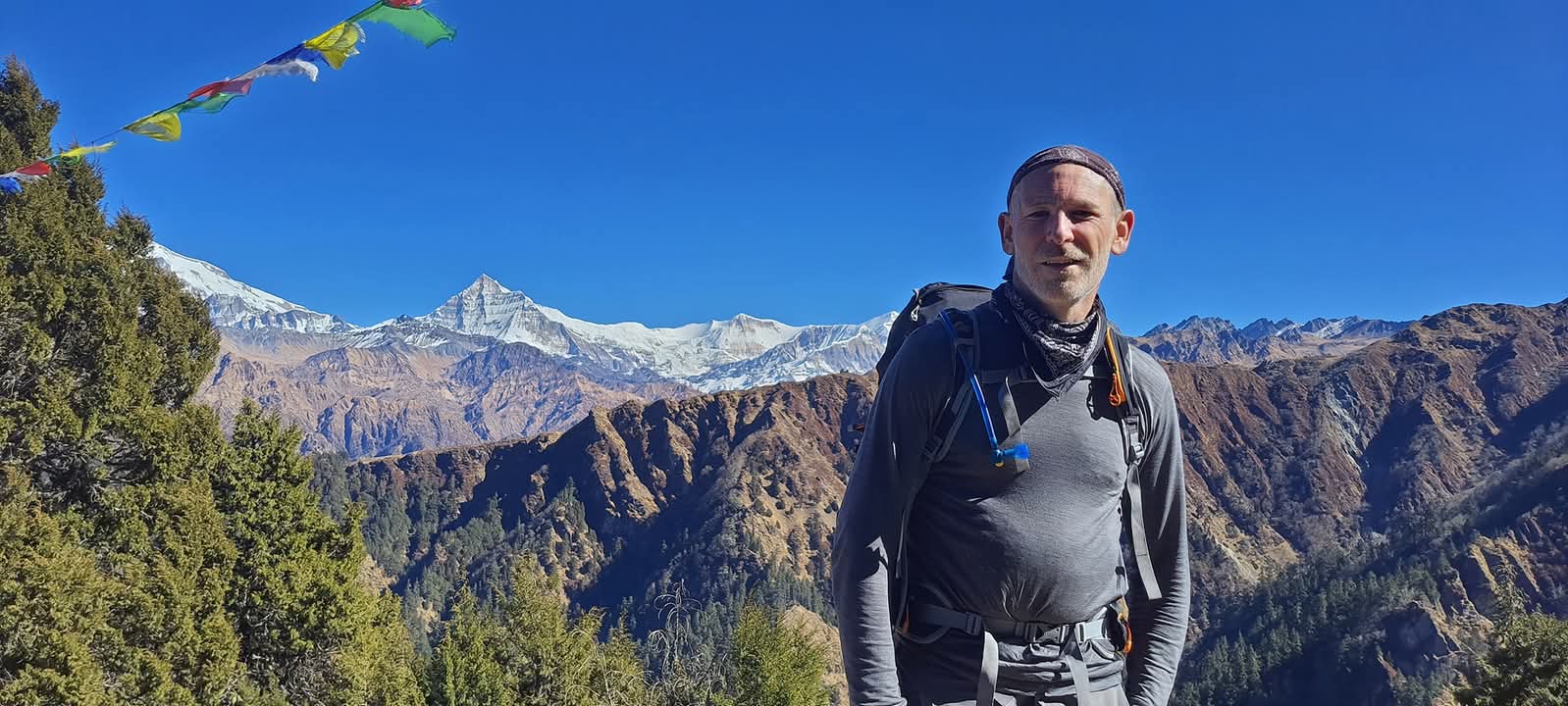
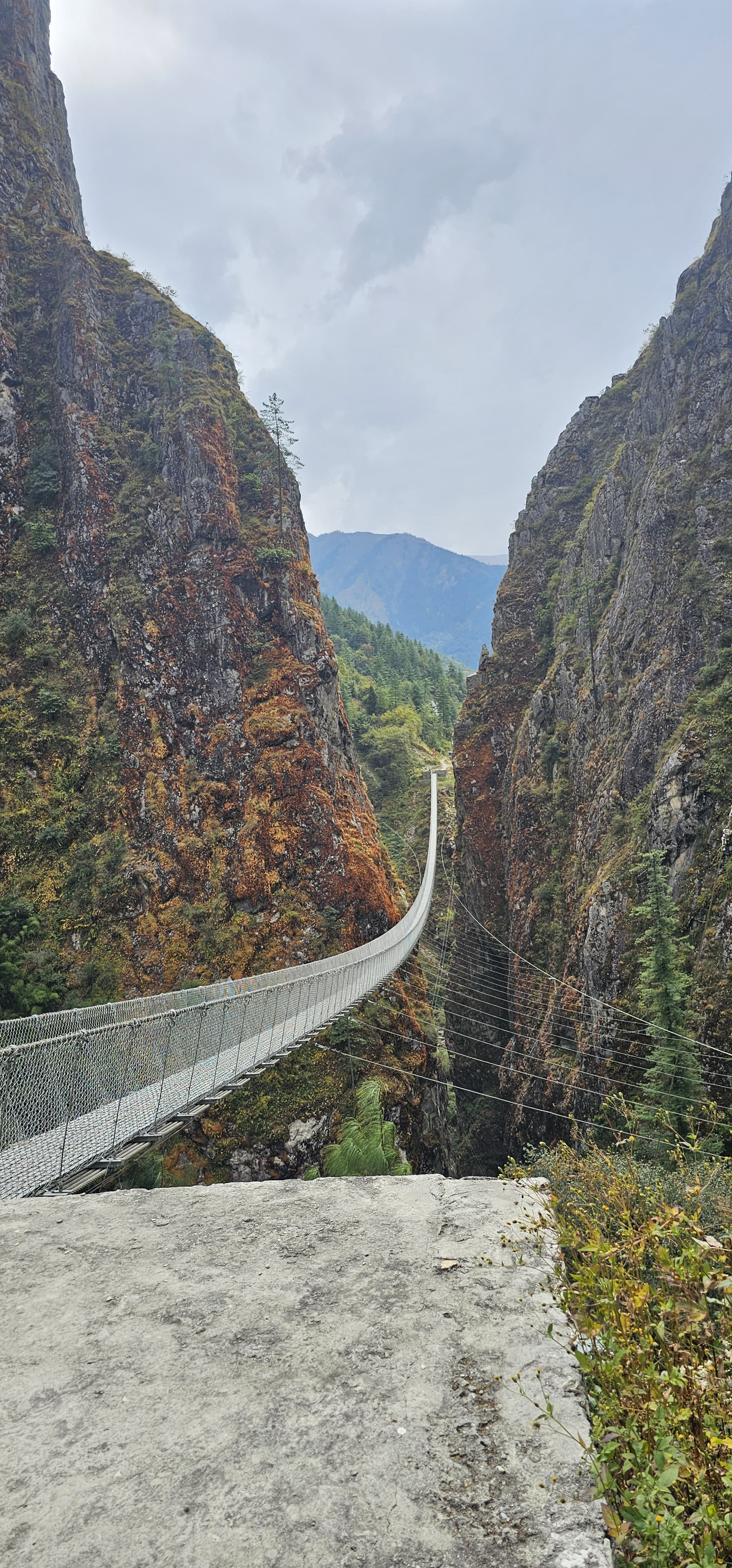
This trek requires high levels of physical endurance, as you'll be crossing rugged terrain, high passes, and remote areas where facilities are minimal.
Best Time for Beni Dolpo Trek via Dhorpatan
Beni Dolpo Trek via Dhorpatan is best done at this time of the year. This decision makes your expedition flowing and filled with extraordinary attractions at the right time if the Beni to Dolpo Trek via Dhorpatan is planned rightly.
The best time to trek to Beni Dolpo via Dhorpatan is during the spring (March to May) and autumn (September to November) seasons. These periods offer the most stable weather and crystal-clear mountain views.
Spring (March to May):
Most of the time, weather in spring is cool and good for the trekking. The hills are also adorned by violet flowers of rhododendrons and bring colors to the slopes. From sunrise to sunset, in most cases, the weather is nice, and the mountains are in plain sight. This season is also good for Bird watching, wildlife and trekker experiences and takes a look at Dhorpatan’s biological and geographical heritage.
Autumn (September to November):
It is during autumn that most people adventure because the climate is relatively predictable. Due to favorable climatic conditions of post-monsoon period, the trails are cool and sunny with clear look at the great Himalayan Range. Moderate daytime temperatures, supplemented by chilly nights make trekking quite enjoyable. Well, it would not be surprising why this is deemed as the best time to go in the journey.
Seasons to Avoid:
- Monsoon (June to August): The trails can bog down owing to rains and thus makes trekking difficult and some times slippery. Landslides and leeches are also experienced at this time.
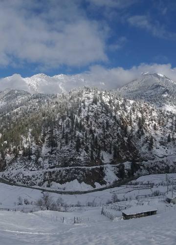
- Winter (December to February): But despite the carnivalish appearance of the Dolpo under a thick layer of snow, the extreme temperatures and snow covered passes make trekking very dangerous.
What Makes This Trek Unique?
The Dhorpatan Dolpo Trek offers a rare chance to explore Nepal’s off-the-beaten paths. Unlike many other trails, this path remains less explored, so do not expect to meet lots of other people on your way. It is a perfect place for those trekkers who are in search of some lonely and virgin beauty. You will also learn about the topography of Nepal including the green belt of Dhorpatan and the barren landscapes of Dolpo. Our tour takes on a religious and historical twist as you get to see the monasteries, praying flags, and most importantly the friendly Nepali people.
What to Expect During Beni Dolpo Trek via Dhorpatan
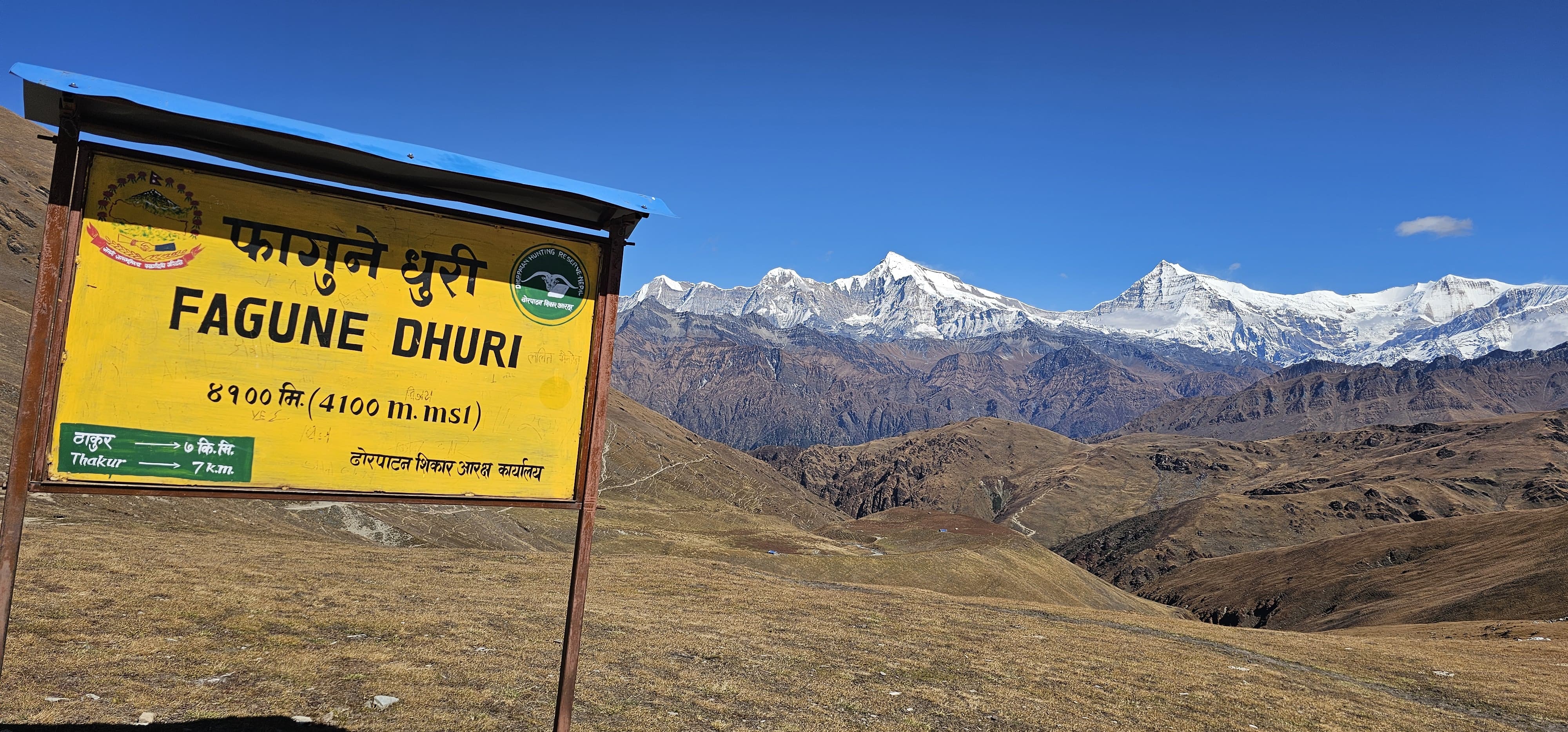
- Tough Terrain: You’ll cross high passes like Jaljala Pass (3,500 m) and Jang La Pass (4,511 m), so altitude acclimatization is crucial.
- Wildlife Spotting: Dhorpatan is home to rare animals like the Himalayan blue sheep and elusive snow leopards.
- Weather Changes: The weather can change rapidly, especially at higher altitudes. Warm layers and waterproof gear are essential.
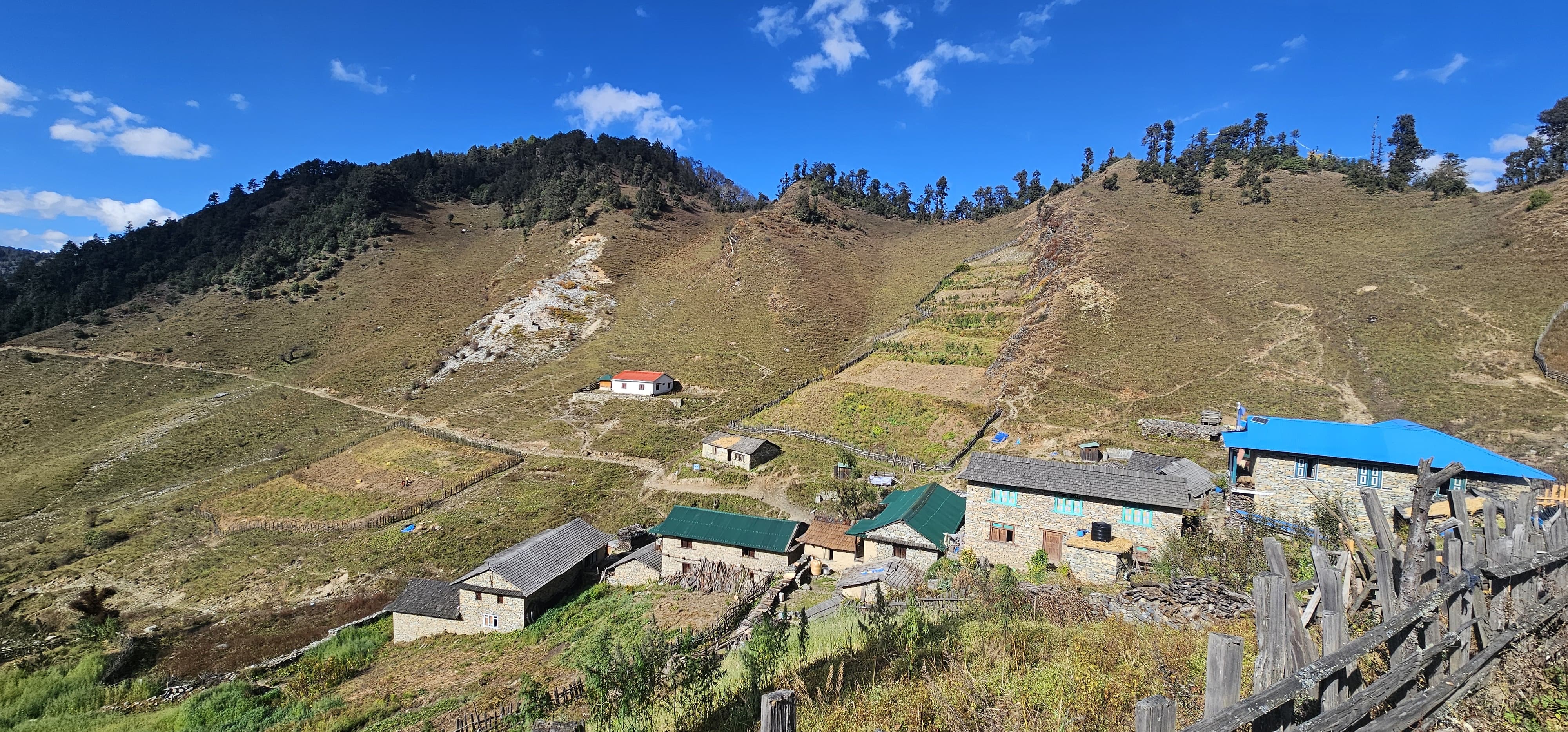
- Simple Teahouses: Don’t expect luxury here. Food and lodging are basic but sufficient for trekkers.
For more information on this incredible trek into the heart of the Himalayas, or to reserve your space and Customized Itinerary, contact us now.